
 Bokamoso
Buysdorp
Xihosana
Ga-Sekororo
Ga-Rankuwa
Three Sisters
George
Haenertsburg
Polokwane
Bokamoso
Buysdorp
Xihosana
Ga-Sekororo
Ga-Rankuwa
Three Sisters
George
Haenertsburg
Polokwane
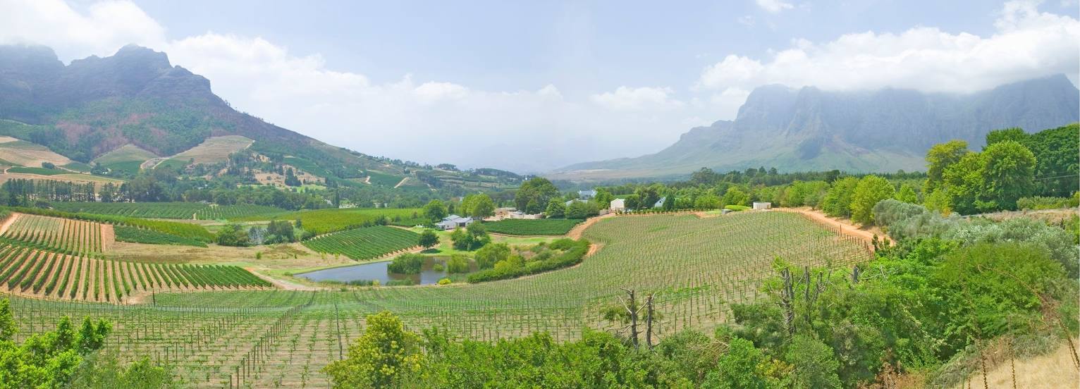
STELLENBOSCH WINE ROUTES on the map, Stellenbosch, South Africa
Photo
Where is located STELLENBOSCH WINE ROUTES
STELLENBOSCH WINE ROUTES — local attraction, which is located at 47 Church St, Stellenbosch Central, Stellenbosch, 7599, South Africa and belongs to the category — information bureau. Average visitor rating for this place — 4.5 (according to 36 ratings, information from open sources and relevant for 2022).
Exact location — STELLENBOSCH WINE ROUTES, marked on the map with a red marker.
You can get directions to STELLENBOSCH WINE ROUTES on the map from your location.
What else is interesting in Stellenbosch? You can see all the sights if you go to the city page.
Coordinates
STELLENBOSCH WINE ROUTES, South Africa coordinates in decimal format: latitude — -33.937651104307044, longitude — 18.86344339773695. When converted to degrees, minutes, seconds STELLENBOSCH WINE ROUTES has the following coordinates: -33°56′15.54 north latitude and 18°51′48.4 east longitude.
Nearby cities
The largest cities that are located nearby:
- Paarl — 25 km
- Cape Town — 40 km
- Worcester — 62 km
- Mossel Bay — 301 km
- George — 329 km
- Uitenhage — 603 km
- Port Elizabeth — 618 km
- Queenstown — 790 km
- Bisho — 806 km
- Kimberley — 811 km
- East London — 842 km
- Bloemfontein — 888 km
- Botshabelo — 917 km
- Maseru
 (Lesotho) — 976 km
 - Welkom — 1011 km
- Virginia — 1011 km
- Kroonstad — 1075 km
- Orkney — 1088 km
- Klerksdorp — 1095 km
Distance to the capital
Distance to the capital (Pretoria) is about — 1279 km.