
 Zelfana
Balloul
أحمد سالم كركرة
Ouargla Province
Boumaiza
Constantine
Frane
Ain Arko
Corso
Zelfana
Balloul
أحمد سالم كركرة
Ouargla Province
Boumaiza
Constantine
Frane
Ain Arko
Corso
Mosquee Ketchaoua on the map, Algiers, Algeria
Photo
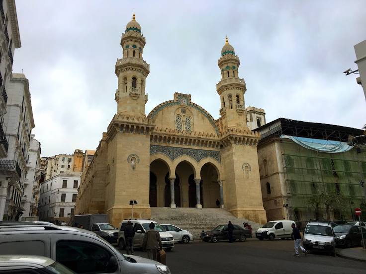
Where is located Mosquee Ketchaoua
Mosquee Ketchaoua — local attraction, which is located at Q3P6+287، الجزائر 16000, Algeria and belongs to the category — mosque. Average visitor rating for this place — 4.7 (according to 632 ratings, information from open sources and relevant for 2022).
Exact location — Mosquee Ketchaoua, marked on the map with a red marker.
You can get directions to Mosquee Ketchaoua on the map from your location.
What else is interesting in Algiers? You can see all the sights if you go to the city page.
Coordinates
Mosquee Ketchaoua, Algeria coordinates in decimal format: latitude — 36.78524210562553, longitude — 3.0608081978144135. When converted to degrees, minutes, seconds Mosquee Ketchaoua has the following coordinates: 36°47′6.87 north latitude and 3°3′38.91 east longitude.
Nearby cities
The largest cities that are located nearby:
- Médéa — 60 km
- Chlef — 166 km
- Bou Arreridj Bordj — 171 km
- Bejaia — 178 km
- M'Sila — 180 km
- Setif — 220 km
- Relizane — 250 km
- Batna — 311 km
- Palma
 (Spain) — 313 km
 - Constantine — 320 km
- Laghouat — 327 km
- Saida — 337 km
- Skikda — 341 km
- Oran — 350 km
- Cartagena (Spain) — 367 km
- Sidi Bel Abbes — 374 km
- Murcia (Spain) — 389 km
- Guelma — 392 km
- Annaba — 418 km