
 زفتى
Qesm Hurghada
Gazirat Muhammad
Qesm Nakhl
Om Sabir Village
6th of October City
Cairo Governorate
Qism Sidi Gabir
Ezbet Hussein Salamah
زفتى
Qesm Hurghada
Gazirat Muhammad
Qesm Nakhl
Om Sabir Village
6th of October City
Cairo Governorate
Qism Sidi Gabir
Ezbet Hussein Salamah
Al Fanādīr on the map, Hurghada, Egypt
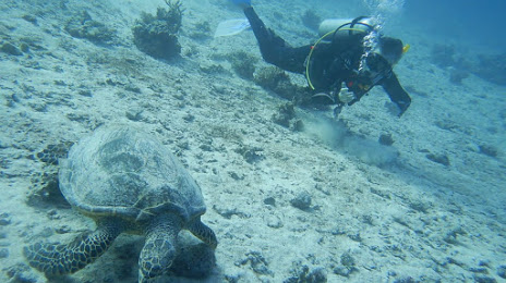
Photo
Where is located Al Fanādīr
Al Fanādīr — local attraction, which is located at no data and belongs to the category — -. Average visitor rating for this place — 4.4 (according to 11 ratings, information from open sources and relevant for 2022).
Exact location — Al Fanādīr, marked on the map with a red marker.
You can get directions to Al Fanādīr on the map from your location.
What else is interesting in Hurghada? You can see all the sights if you go to the city page.
Coordinates
Al Fanādīr, Egypt coordinates in decimal format: latitude — 27.30179080487245, longitude — 33.83333314666063. When converted to degrees, minutes, seconds Al Fanādīr has the following coordinates: 27°18′6.45 north latitude and 33°49′60 east longitude.
Nearby cities
The largest cities that are located nearby:
- Qena — 163 km
- Luxor — 209 km
- Sohag — 223 km
- Asyut — 258 km
- Mallawi — 296 km
- Tabuk
 (Saudi Arabia) — 297 km
 - Suez — 323 km
- Beni Suef — 330 km
- Aswan — 362 km
- Ismailia — 397 km
- Qalyub — 408 km
- Zagazig — 428 km
- Banha — 434 km
- Port Said — 465 km
- Talkha — 479 km
- Ashqelon
 (Israel) — 493 km
 - Ashdod (Israel) — 509 km
- Jerusalem (Israel) — 516 km
- Bat Yam (Israel) — 533 km
Distance to the capital
Distance to the capital (Cairo) is about — 397 km.