 Pointe-à-la-Croix
Sainte-Irène, Quebec
Marsoui
Hecla
Muskrat Dam
Wunnummin Lake
Sainte-Brigitte-de-Laval
Drayton
Mauricie
Pointe-à-la-Croix
Sainte-Irène, Quebec
Marsoui
Hecla
Muskrat Dam
Wunnummin Lake
Sainte-Brigitte-de-Laval
Drayton
Mauricie
Lennoxville Golf Club on the map, Sherbrooke, Canada
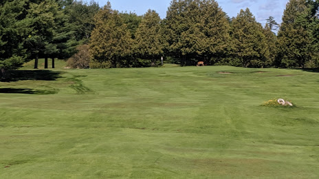
Photo
Where is located Lennoxville Golf Club
Lennoxville Golf Club — local attraction, which is located at 19 Rue du Golf, Sherbrooke, QC J1M 2E6, Canada and belongs to the category — golf club. Average visitor rating for this place — 4.3 (according to 83 ratings, information from open sources and relevant for 2022).
Exact location — Lennoxville Golf Club, marked on the map with a red marker.
You can get directions to Lennoxville Golf Club on the map from your location.
What else is interesting in Sherbrooke? You can see all the sights if you go to the city page.
Coordinates
Lennoxville Golf Club, Canada coordinates in decimal format: latitude — 45.359069939769675, longitude — -71.85037140192114. When converted to degrees, minutes, seconds Lennoxville Golf Club has the following coordinates: 45°21′32.65 north latitude and -71°51′1.34 east longitude.
Nearby cities
The largest cities that are located nearby:
- Trois-Rivières — 116 km
- Longueuil — 127 km
- Montreal — 131 km
- Laval — 143 km
- Levis — 155 km
- Quebec — 162 km
- Manchester
 (United States) — 268 km
 - Gatineau — 296 km
- Lowell (United States) — 309 km
- Saguenay — 340 km
- Cambridge (United States) — 341 km
- Amherst (United States) — 342 km
- Boston (United States) — 343 km
- Worcester (United States) — 347 km
- Springfield (United States) — 369 km
- Kingston — 387 km
- Providence (United States) — 397 km
- Hartford (United States) — 408 km
- Syracuse (United States) — 432 km
Distance to the capital
Distance to the capital (Ottawa) is about — 301 km.