 Pointe-à-la-Croix
Sainte-Irène, Quebec
Marsoui
Hecla
Muskrat Dam
Wunnummin Lake
Sainte-Brigitte-de-Laval
Drayton
Mauricie
Pointe-à-la-Croix
Sainte-Irène, Quebec
Marsoui
Hecla
Muskrat Dam
Wunnummin Lake
Sainte-Brigitte-de-Laval
Drayton
Mauricie
National Wines on the map, Oakville, Canada
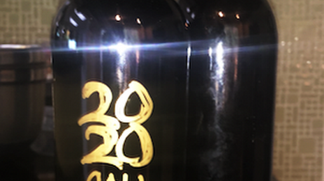
Photo
Where is located National Wines
National Wines — local attraction, which is located at 447 Speers Rd Unit 7, Oakville, ON L6K 3S7, Canada and belongs to the category — winery. Average visitor rating for this place — 4.9 (according to 16 ratings, information from open sources and relevant for 2022).
Exact location — National Wines, marked on the map with a red marker.
You can get directions to National Wines on the map from your location.
What else is interesting in Oakville? You can see all the sights if you go to the city page.
Coordinates
National Wines, Canada coordinates in decimal format: latitude — 43.43874305178358, longitude — -79.69730600198424. When converted to degrees, minutes, seconds National Wines has the following coordinates: 43°26′19.47 north latitude and -79°41′50.3 east longitude.
Nearby cities
The largest cities that are located nearby:
- Mississauga — 14 km
- Burlington — 18 km
- Hamilton — 28 km
- Brampton — 30 km
- Toronto — 32 km
- Vaughan — 43 km
- Guelph — 46 km
- Saint Catharines — 49 km
- Richmond Hill — 50 km
- Markham — 51 km
- Cambridge — 52 km
- Kitchener — 64 km
- Waterloo — 67 km
- Whitby — 76 km
- Oshawa — 81 km
- Amherst
 (United States) — 91 km
 - Buffalo (United States) — 92 km
- Barrie — 102 km
- Boston (United States) — 121 km
Distance to the capital
Distance to the capital (Ottawa) is about — 387 km.