
 Puerto de la Duquesa
La Serna de Iguña
Pumalverde
Puentenansa
La Iglesia
Casar de Periedo
Fuengirola
Renedo de Piélagos
Villabanez
Puerto de la Duquesa
La Serna de Iguña
Pumalverde
Puentenansa
La Iglesia
Casar de Periedo
Fuengirola
Renedo de Piélagos
Villabanez
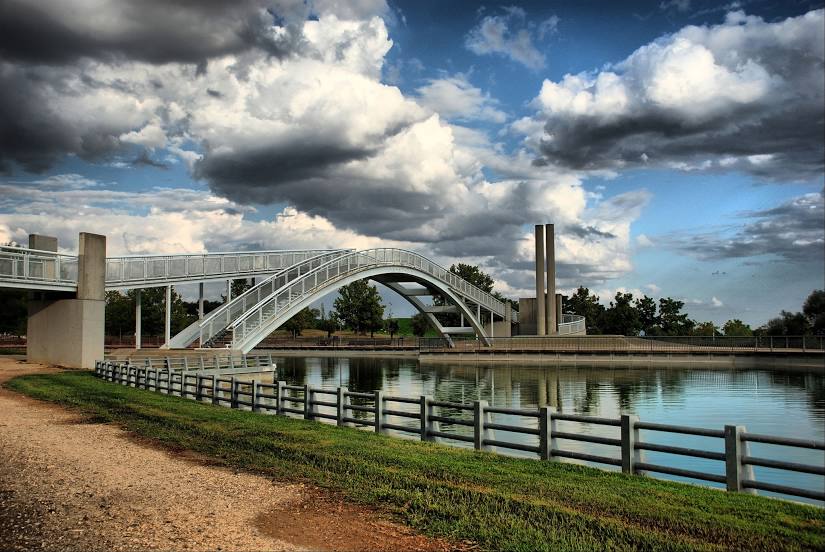
Juan Carlos I Park on the map, Madrid, Spain
Photo
Where is located Juan Carlos I Park
Juan Carlos I Park — local attraction, which is located at Glorieta de Don Juan de Borbon y battemberg s/n, 28042 Madrid, Spain and belongs to the category — park. Average visitor rating for this place — 4.6 (according to 18783 ratings, information from open sources and relevant for 2022).
Exact location — Juan Carlos I Park, marked on the map with a red marker.
You can get directions to Juan Carlos I Park on the map from your location.
What else is interesting in Madrid? You can see all the sights if you go to the city page.
Coordinates
Juan Carlos I Park, Spain coordinates in decimal format: latitude — 40.461107810101936, longitude — -3.6047052020778088. When converted to degrees, minutes, seconds Juan Carlos I Park has the following coordinates: 40°27′39.99 north latitude and -3°36′16.94 east longitude.
Nearby cities
The largest cities that are located nearby:
- Leganés — 11 km
- Getafe — 12 km
- Alcorcón — 13 km
- Alcobendas — 14 km
- Fuenlabrada — 16 km
- Móstoles — 17 km
- Torrejón de Ardoz — 20 km
- Alcala de Henares — 30 km
- Valladolid — 161 km
- Salamanca — 175 km
- Burgos — 213 km
- Albacete — 223 km
- Logroño — 248 km
- Zaragoza — 270 km
- Vitoria-Gasteiz — 282 km
- León — 285 km
- Jaén — 292 km
- Córdoba — 295 km
- Valencia — 303 km