
 Gilserberg
Berlin
Bordesholm
Bechtolsheim
Aub
Triptis
Heppenheim
Biblis
Angermünde
Gilserberg
Berlin
Bordesholm
Bechtolsheim
Aub
Triptis
Heppenheim
Biblis
Angermünde
Europa-Park on the map, Freiburg, Germany
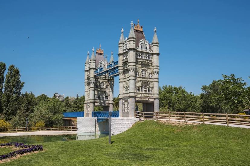
Photo
Where is located Europa-Park
Europa-Park — local attraction, which is located at Europa-Park-Straße 2, 77977 Rust, Germany and belongs to the category — theme park. Average visitor rating for this place — 4.8 (according to 112858 ratings, information from open sources and relevant for 2022).
Exact location — Europa-Park, marked on the map with a red marker.
You can get directions to Europa-Park on the map from your location.
What else is interesting in Freiburg? You can see all the sights if you go to the city page.
Coordinates
Europa-Park, Germany coordinates in decimal format: latitude — 48.26618721353492, longitude — 7.722007598178459. When converted to degrees, minutes, seconds Europa-Park has the following coordinates: 48°15′58.27 north latitude and 7°43′19.23 east longitude.
Nearby cities
The largest cities that are located nearby:
- Mulhouse
 (France) — 47 km
 - Basel
 (Switzerland) — 51 km
 - Strasbourg (France) — 64 km
- Zurich (Switzerland) — 87 km
- Reutlingen — 114 km
- Pforzheim — 117 km
- Karlsruhe — 119 km
- Bern (Switzerland) — 120 km
- Stuttgart — 130 km
- Nancy (France) — 143 km
- Saarbrücken — 150 km
- Besançon (France) — 160 km
- Heilbronn — 161 km
- Ulm — 164 km
- Heidelberg — 166 km
- Ludwigshafen — 169 km
- Mannheim — 171 km
- Metz (France) — 173 km
- Lausanne (Switzerland) — 188 km
Distance to the capital
Distance to the capital (Berlin) is about — 621 km.