
 Almenara
Santiponce
San Juan de Aznalfarache
Arahal
Fonz
Ferroy
La Algaba
Montijo
Cubas
Viver
Cariñena
Bastida
Vallgorguina
Calzada de Calatrava
Pinos Puente
Huesa
Alp
Cangas de Onís
Godos
Almenara
Santiponce
San Juan de Aznalfarache
Arahal
Fonz
Ferroy
La Algaba
Montijo
Cubas
Viver
Cariñena
Bastida
Vallgorguina
Calzada de Calatrava
Pinos Puente
Huesa
Alp
Cangas de Onís
Godos
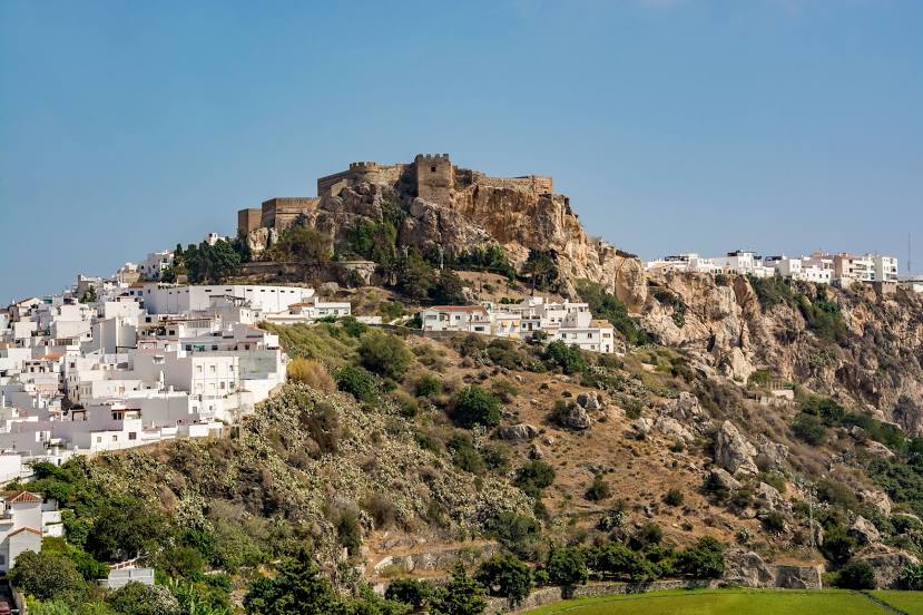
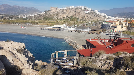
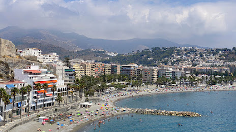
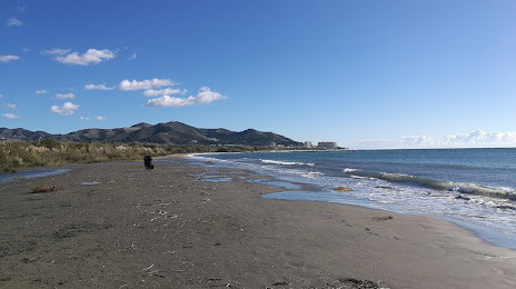
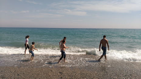
Salobreña on the map, Spain
Where is located Salobreña
Exact location — Salobreña, Granada, Andalucía, Spain, marked on the map with a red marker.
Coordinates
Salobreña, Spain coordinates in decimal format: latitude — 36.7429438, longitude — -3.5850658. When converted to degrees, minutes, seconds Salobreña has the following coordinates: 36°44′34.6 north latitude and -3°35′6.24 east longitude.
Population
Salobreña, Granada, Andalucía, Spain, according to our data the population is — 10,725 residents, which is about 0% of the total population of the country (Spain).
Comparison of the population on the graph:
Exact time
Time zone for this location Salobreña — UTC +2 Europe/Madrid. Exact time — wednesday, 5 may 2024 year, 13 h. 41 minute.
Sunrise and sunset
Salobreña, sunrise and sunset data for a date — wednesday 15.05.2024.
| Sunrise | Sunset | Day (duration) |
|---|---|---|
| 07:09 -1 minute | 21:11 -0 minutes | 14 h. 0 minutes. +1 minute |
You can control the scale of the map using the auxiliary tools to find out exactly where it is located Salobreña. When you change the scale of the map, the width of the ruler also changes (in kilometers and miles).
Nearby cities
The largest cities that are located nearby:
- Granada — 48 km
- Málaga — 74 km
- Almería — 100 km
- Jaén — 116 km
- Marbella — 118 km
- Córdoba — 164 km
- Algeciras — 180 km
- Nador
 (Morocco) — 184 km
 - Tetouan (Morocco) — 206 km
- Dos Hermanas — 214 km
- Jerez — 225 km
- Tangier (Morocco) — 229 km
- Cádiz — 241 km
- Cartagena — 247 km
- Murcia — 255 km
- Taounate (Morocco) — 262 km
- Oujda (Morocco) — 274 km
- Taza (Morocco) — 282 km
- Oran
 (Algeria) — 289 km
Distance to neighboring capitals:
- Rabat (Morocco) — 427 km
- Lisbon
 (Portugal) — 536 km
 - Andorra la Vella
 (Andorra) — 776 km
 - Paris
 (France) — 1431 km
 - Paris (France) — 1431 km
Attractions


Distance to the capital
Distance to the capital (Madrid) is about — 409 km.