

Pululahua Geobotanical Reserve on the map, Quito, Ecuador
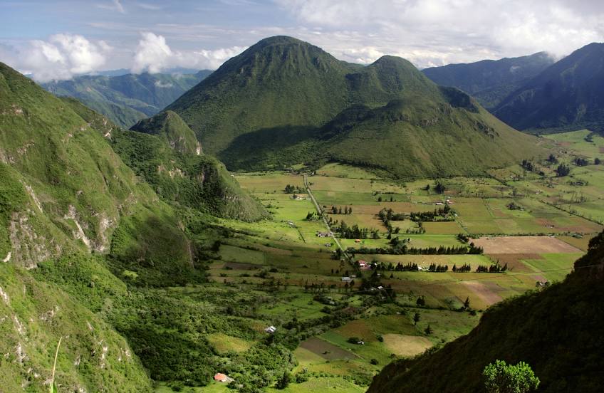
Photo
Where is located Pululahua Geobotanical Reserve
Pululahua Geobotanical Reserve — local attraction, which is located at E28, Calacalí, Ecuador and belongs to the category — protected site. Average visitor rating for this place — 4.7 (according to 3394 ratings, information from open sources and relevant for 2022).
Exact location — Pululahua Geobotanical Reserve, marked on the map with a red marker.
You can get directions to Pululahua Geobotanical Reserve on the map from your location.
What else is interesting in Quito? You can see all the sights if you go to the city page.
Coordinates
Pululahua Geobotanical Reserve, Ecuador coordinates in decimal format: latitude — 0.024370068046645276, longitude — -78.48414707286352. When converted to degrees, minutes, seconds Pululahua Geobotanical Reserve has the following coordinates: 0°1′27.73 north latitude and -78°29′2.93 east longitude.
Nearby cities
The largest cities that are located nearby:
- Ibarra — 71 km
- Santo Domingo — 78 km
- Ambato — 119 km
- Quevedo — 144 km
- Riobamba — 165 km
- Pasto
 (Colombia) — 203 km
 - Portoviejo — 240 km
- Milagro — 249 km
- Manta — 263 km
- Guayaquil — 272 km
- Cuenca — 306 km
- Popayán (Colombia) — 356 km
- Florencia (Colombia) — 373 km
- Santiago — 409 km
- Loja — 428 km
- Tumbes
 (Peru) — 431 km
 - Cali (Colombia) — 454 km
- Buenaventura (Colombia) — 475 km
- Palmira (Colombia) — 475 km