 Bel-Ha
San Jose El Alto
El Porvenir
Nueva Palestina
Santa Lucía
Chemax
La Morita
Temoac
Zacualpan
Bel-Ha
San Jose El Alto
El Porvenir
Nueva Palestina
Santa Lucía
Chemax
La Morita
Temoac
Zacualpan
EspacioGAF Imagen + Arte on the map, Monterrey, Mexico
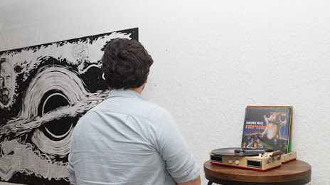
Photo
Where is located EspacioGAF Imagen + Arte
EspacioGAF Imagen + Arte — local attraction, which is located at Taxco 401, Mitras Nte., 64320 Monterrey, N.L., Mexico and belongs to the category — museum. Average visitor rating for this place — 5.0 (according to 2 ratings, information from open sources and relevant for 2022).
Exact location — EspacioGAF Imagen + Arte, marked on the map with a red marker.
You can get directions to EspacioGAF Imagen + Arte on the map from your location.
What else is interesting in Monterrey? You can see all the sights if you go to the city page.
Coordinates
EspacioGAF Imagen + Arte, Mexico coordinates in decimal format: latitude — 25.70713057688232, longitude — -100.34880126945554. When converted to degrees, minutes, seconds EspacioGAF Imagen + Arte has the following coordinates: 25°42′25.67 north latitude and -100°20′55.68 east longitude.
Nearby cities
The largest cities that are located nearby:
- Guadalupe — 6 km
- San Nicolas de los Garza — 8 km
- San Pedro Garza García — 9 km
- General Escobedo — 10 km
- Santa Catarina — 15 km
- Apodaca — 17 km
- Saltillo — 74 km
- Monclova — 174 km
- Reynosa — 207 km
- Nuevo Laredo — 212 km
- McAllen
 (United States) — 215 km
 - Laredo (United States) — 220 km
- Ciudad Victoria — 246 km
- Matamoros — 281 km
- Brownsville (United States) — 281 km
- Torreón — 309 km
- Gómez Palacio — 316 km
- Piedras Negras — 334 km
- Corpus Christi (United States) — 369 km
Distance to the capital
Distance to the capital (Mexico City) is about — 709 km.