
 Puerto de la Duquesa
La Serna de Iguña
Pumalverde
Puentenansa
La Iglesia
Casar de Periedo
Fuengirola
Renedo de Piélagos
Villabanez
Puerto de la Duquesa
La Serna de Iguña
Pumalverde
Puentenansa
La Iglesia
Casar de Periedo
Fuengirola
Renedo de Piélagos
Villabanez
Parque Nagüeles on the map, Marbella, Spain
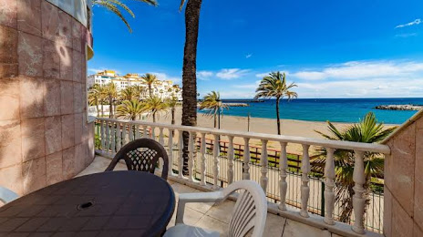
Photo
Where is located Parque Nagüeles
Parque Nagüeles — local attraction, which is located at no data and belongs to the category — -. Average visitor rating for this place — 3.9 (according to 37 ratings, information from open sources and relevant for 2022).
Exact location — Parque Nagüeles, marked on the map with a red marker.
You can get directions to Parque Nagüeles on the map from your location.
What else is interesting in Marbella? You can see all the sights if you go to the city page.
Coordinates
Parque Nagüeles, Spain coordinates in decimal format: latitude — 36.48605894011378, longitude — -4.957036472335743. When converted to degrees, minutes, seconds Parque Nagüeles has the following coordinates: 36°29′9.81 north latitude and -4°57′25.33 east longitude.
Nearby cities
The largest cities that are located nearby:
- Málaga — 40 km
- Algeciras — 66 km
- Jerez — 112 km
- Tetouan
 (Morocco) — 113 km
 - Tangier (Morocco) — 119 km
- Cádiz — 125 km
- Dos Hermanas — 126 km
- Granada — 135 km
- Córdoba — 153 km
- Jaén — 170 km
- Huelva — 200 km
- Almería — 217 km
- Taounate (Morocco) — 219 km
- Nador (Morocco) — 230 km
- Taza (Morocco) — 266 km
- Kenitra (Morocco) — 294 km
- Meknes (Morocco) — 296 km
- Khemisset (Morocco) — 317 km
- Badajoz — 318 km
Distance to the capital
Distance to the capital (Madrid) is about — 451 km.