
 Torreblanca
Villablino
Casa Blanca
Sella
Colmenar del Arroyo
Benicolet
Sariñena
Busquístar
Cigales DO
Castilforte
Hozabejas
Cartaya
Ejulve
Puerto del Rosario
Cotillo
Mojácar
Benavent
Maracena
Las Mesas
Torreblanca
Villablino
Casa Blanca
Sella
Colmenar del Arroyo
Benicolet
Sariñena
Busquístar
Cigales DO
Castilforte
Hozabejas
Cartaya
Ejulve
Puerto del Rosario
Cotillo
Mojácar
Benavent
Maracena
Las Mesas
Guadarrama on the map, Spain
Where is located Guadarrama
Exact location — Guadarrama, Madrid, Comunidad de Madrid, Spain, marked on the map with a red marker.
Coordinates
Guadarrama, Spain coordinates in decimal format: latitude — 40.6731798, longitude — -4.0875528. When converted to degrees, minutes, seconds Guadarrama has the following coordinates: 40°40′23.45 north latitude and -4°5′15.19 east longitude.
Population
Guadarrama, Madrid, Comunidad de Madrid, Spain, according to our data the population is — 13,023 residents, which is about 0% of the total population of the country (Spain).
Comparison of the population on the graph:
Exact time
Time zone for this location Guadarrama — UTC +2 Europe/Madrid. Exact time — friday, 5 may 2024 year, 13 h. 50 minutes.
Sunrise and sunset
Guadarrama, sunrise and sunset data for a date — friday 10.05.2024.
| Sunrise | Sunset | Day (duration) |
|---|---|---|
| 07:07 -1 minute | 21:18 +1 minute | 14 h. 12 minutes. +2 minutes |
You can control the scale of the map using the auxiliary tools to find out exactly where it is located Guadarrama. When you change the scale of the map, the width of the ruler also changes (in kilometers and miles).
Nearby cities
The largest cities that are located nearby:
- Alcobendas — 41 km
- Alcorcón — 42 km
- Móstoles — 43 km
- Leganés — 46 km
- Fuenlabrada — 49 km
- Getafe — 50 km
- Torrejón de Ardoz — 57 km
- Alcala de Henares — 64 km
- Valladolid — 120 km
- Salamanca — 136 km
- Burgos — 187 km
- Logroño — 239 km
- León — 245 km
- Albacete — 267 km
- Vitoria-Gasteiz — 267 km
- Zaragoza — 285 km
- Bilbao — 301 km
- Pamplona — 308 km
- Santander — 309 km
Distance to neighboring capitals:
- Lisbon
 (Portugal) — 484 km
 - Andorra la Vella
 (Andorra) — 509 km
 - Rabat
 (Morocco) — 784 km
 - Paris
 (France) — 1042 km
 - Paris (France) — 1042 km
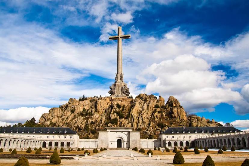
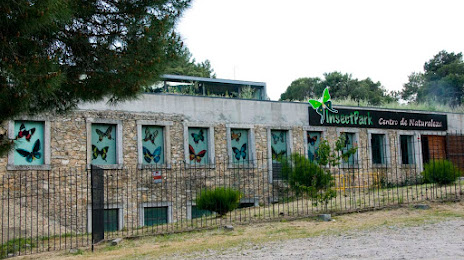
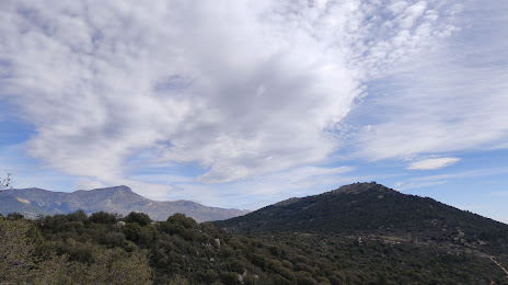
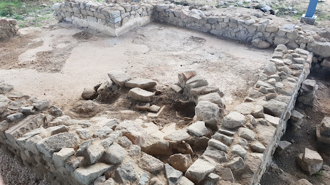
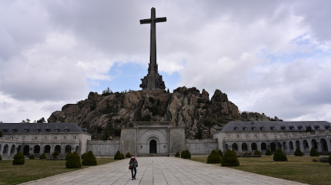
Attractions


Distance to the capital
Distance to the capital (Madrid) is about — 43 km.