
 Bokamoso
Buysdorp
Xihosana
Ga-Sekororo
Ga-Rankuwa
Three Sisters
George
Haenertsburg
Polokwane
Bokamoso
Buysdorp
Xihosana
Ga-Sekororo
Ga-Rankuwa
Three Sisters
George
Haenertsburg
Polokwane
Cape St Blaize Lighthouse Complex on the map, Mossel Bay, South Africa
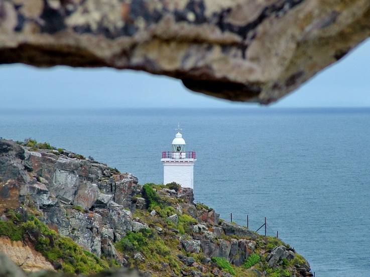
Photo
Where is located Cape St Blaize Lighthouse Complex
Cape St Blaize Lighthouse Complex — local attraction, which is located at 6 Point Rd, Mossel Bay, 6500, South Africa and belongs to the category — lighthouse. Average visitor rating for this place — 4.4 (according to 562 ratings, information from open sources and relevant for 2022).
Exact location — Cape St Blaize Lighthouse Complex, marked on the map with a red marker.
You can get directions to Cape St Blaize Lighthouse Complex on the map from your location.
What else is interesting in Mossel Bay? You can see all the sights if you go to the city page.
Coordinates
Cape St Blaize Lighthouse Complex, South Africa coordinates in decimal format: latitude — -34.18602810616678, longitude — 22.15609840745271. When converted to degrees, minutes, seconds Cape St Blaize Lighthouse Complex has the following coordinates: -34°11′9.7 north latitude and 22°9′21.95 east longitude.
Nearby cities
The largest cities that are located nearby:
- George — 38 km
- Worcester — 255 km
- Paarl — 297 km
- Uitenhage — 305 km
- Port Elizabeth — 319 km
- Cape Town — 341 km
- Bisho — 514 km
- Queenstown — 516 km
- East London — 548 km
- Kimberley — 654 km
- Bloemfontein — 685 km
- Botshabelo — 701 km
- Maseru
 (Lesotho) — 746 km
 - Virginia — 815 km
- Welkom — 819 km
- Kroonstad — 878 km
- Orkney — 913 km
- Klerksdorp — 923 km
- Pietermaritzburg — 941 km
Distance to the capital
Distance to the capital (Pretoria) is about — 1104 km.