
 Ormaiztegi
Boal
Vélez-Málaga
Alguaire
Viladasens
Santa Perpètua de Mogoda
Churriana de la Vega
Campo Real
Santa Cruz del Retamar
Burguillos de Toledo
Sidamon
Cortes de la Frontera
Mutxamel
Palomares del Río
Mozota
Albocàsser
Buitrago del Lozoya
Casavieja
El Cardoso de la Sierra
Ormaiztegi
Boal
Vélez-Málaga
Alguaire
Viladasens
Santa Perpètua de Mogoda
Churriana de la Vega
Campo Real
Santa Cruz del Retamar
Burguillos de Toledo
Sidamon
Cortes de la Frontera
Mutxamel
Palomares del Río
Mozota
Albocàsser
Buitrago del Lozoya
Casavieja
El Cardoso de la Sierra
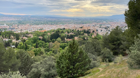
Huétor Vega on the map, Spain
Where is located Huétor Vega
Exact location — Huétor Vega, Granada, Andalucía, Spain, marked on the map with a red marker.
Coordinates
Huétor Vega, Spain coordinates in decimal format: latitude — 37.1470974, longitude — -3.5684419. When converted to degrees, minutes, seconds Huétor Vega has the following coordinates: 37°8′49.55 north latitude and -3°34′6.39 east longitude.
Population
Huétor Vega, Granada, Andalucía, Spain, according to our data the population is — 10,583 residents, which is about 0% of the total population of the country (Spain).
Comparison of the population on the graph:
Exact time
Time zone for this location Huétor Vega — UTC +2 Europe/Madrid. Exact time — saturday, 5 may 2024 year, 10 h. 26 minutes.
Sunrise and sunset
Huétor Vega, sunrise and sunset data for a date — saturday 4.05.2024.
| Sunrise | Sunset | Day (duration) |
|---|---|---|
| 07:18 -1 minute | 21:03 +1 minute | 13 h. 48 minutes. +2 minutes |
You can control the scale of the map using the auxiliary tools to find out exactly where it is located Huétor Vega. When you change the scale of the map, the width of the ruler also changes (in kilometers and miles).
Nearby cities
The largest cities that are located nearby:
- Granada — 4 km
- Jaén — 72 km
- Málaga — 89 km
- Almería — 104 km
- Córdoba — 134 km
- Marbella — 136 km
- Algeciras — 202 km
- Dos Hermanas — 208 km
- Nador
 (Morocco) — 226 km
 - Cartagena — 231 km
- Murcia — 232 km
- Jerez — 232 km
- Tetouan (Morocco) — 238 km
- Cádiz — 251 km
- Albacete — 252 km
- Tangier (Morocco) — 255 km
- Huelva — 297 km
- Taounate (Morocco) — 305 km
- Oran
 (Algeria) — 308 km
Distance to neighboring capitals:
- Rabat (Morocco) — 461 km
- Lisbon
 (Portugal) — 519 km
 - Andorra la Vella
 (Andorra) — 737 km
 - Paris
 (France) — 1388 km
 - Paris (France) — 1388 km
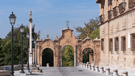
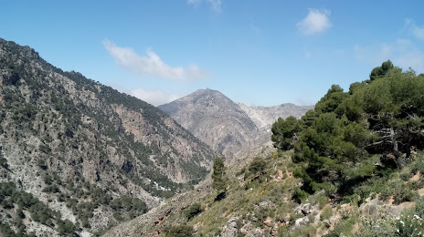
Attractions

Distance to the capital
Distance to the capital (Madrid) is about — 364 km.