
 Calanda
Jorcas
Barajas de Melo
Pulianas
Arenillas de Riopisuerga
Poblete
Brea de Aragón
Gérgal
Guijo de Coria
Vélez-Málaga
Boal
Ormaiztegi
Valdevimbre
Cabreros del Río
Uleila del Campo
El Saucejo
Quintela de Leirado
Lekeitio
Ispaster
Calanda
Jorcas
Barajas de Melo
Pulianas
Arenillas de Riopisuerga
Poblete
Brea de Aragón
Gérgal
Guijo de Coria
Vélez-Málaga
Boal
Ormaiztegi
Valdevimbre
Cabreros del Río
Uleila del Campo
El Saucejo
Quintela de Leirado
Lekeitio
Ispaster
Vallirana on the map, Spain
Where is located Vallirana
Exact location — Vallirana, Barcelona, Catalunya, Spain, marked on the map with a red marker.
Coordinates
Vallirana, Spain coordinates in decimal format: latitude — 41.3848607, longitude — 1.9317305. When converted to degrees, minutes, seconds Vallirana has the following coordinates: 41°23′5.5 north latitude and 1°55′54.23 east longitude.
Population
Vallirana, Barcelona, Catalunya, Spain, according to our data the population is — 12,282 residents, which is about 0% of the total population of the country (Spain).
Comparison of the population on the graph:
Exact time
Time zone for this location Vallirana — UTC +2 Europe/Madrid. Exact time — saturday, 5 may 2024 year, 18 h. 06 minutes.
Sunrise and sunset
Vallirana, sunrise and sunset data for a date — saturday 4.05.2024.
| Sunrise | Sunset | Day (duration) |
|---|---|---|
| 06:48 -1 minute | 20:49 +1 minute | 14 h. 0 minutes. +2 minutes |
You can control the scale of the map using the auxiliary tools to find out exactly where it is located Vallirana. When you change the scale of the map, the width of the ruler also changes (in kilometers and miles).
Nearby cities
The largest cities that are located nearby:
- L'Hospitalet de Llobregat — 15 km
- Terrassa — 21 km
- Sabadell — 23 km
- Santa Coloma de Gramenet — 24 km
- Badalona — 27 km
- Mataró — 46 km
- Tarragona — 64 km
- Lleida — 111 km
- Perpignan
 (France) — 164 km
 - Palma — 210 km
- Zaragoza — 235 km
- Toulouse (France) — 249 km
- Valencia — 289 km
- Montpellier (France) — 291 km
- Pamplona — 330 km
- Nimes (France) — 333 km
- Marseille (France) — 348 km
- Aix-en-Provence (France) — 368 km
- Toulon (France) — 375 km
Distance to neighboring capitals:
- Andorra la Vella
 (Andorra) — 129 km
 - Paris (France) — 832 km
- Paris (France) — 832 km
- Lisbon
 (Portugal) — 987 km
 - Rabat
 (Morocco) — 1129 km
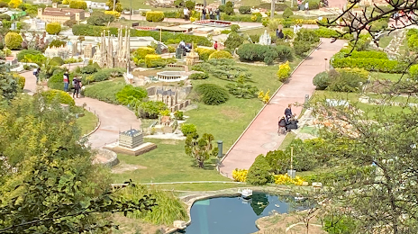
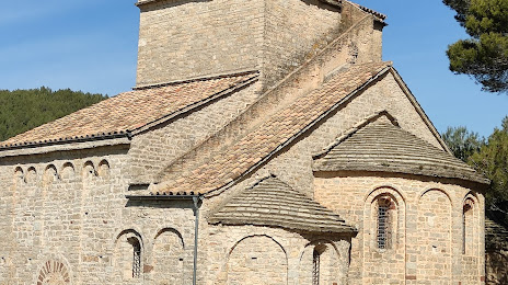
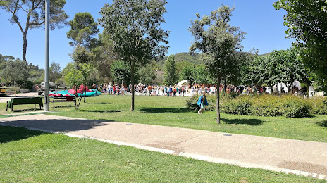
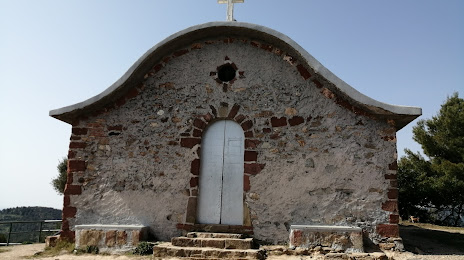
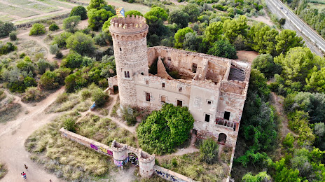
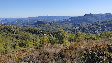
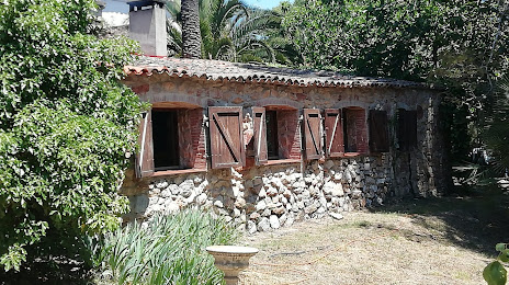
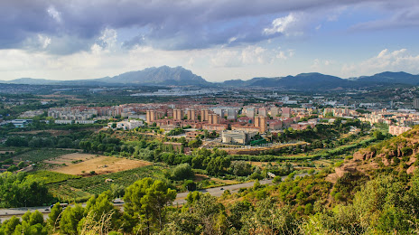
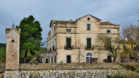
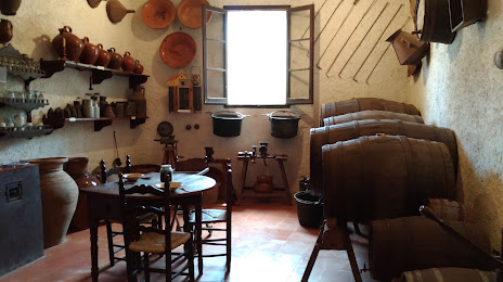
Attractions


Distance to the capital
Distance to the capital (Madrid) is about — 486 km.