
 Puerto de la Duquesa
La Serna de Iguña
Pumalverde
Puentenansa
La Iglesia
Casar de Periedo
Fuengirola
Renedo de Piélagos
Villabanez
Puerto de la Duquesa
La Serna de Iguña
Pumalverde
Puentenansa
La Iglesia
Casar de Periedo
Fuengirola
Renedo de Piélagos
Villabanez
Ekoetxea | Peñas Negras on the map, Bilbao, Spain
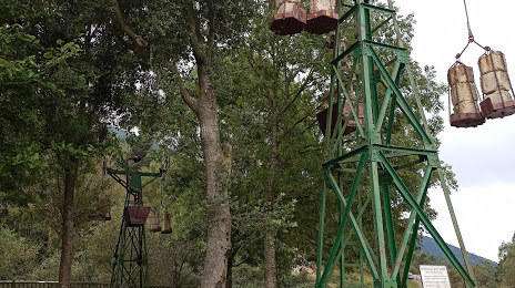
Photo
Where is located Ekoetxea | Peñas Negras
Ekoetxea | Peñas Negras — local attraction, which is located at Carretera forestal La Arboleda, Muskiz km 1,6, 48530 Ortuella, Biscay, Spain and belongs to the category — visitor center. Average visitor rating for this place — 4.3 (according to 551 rating, information from open sources and relevant for 2022).
Exact location — Ekoetxea | Peñas Negras, marked on the map with a red marker.
You can get directions to Ekoetxea | Peñas Negras on the map from your location.
What else is interesting in Bilbao? You can see all the sights if you go to the city page.
Coordinates
Ekoetxea | Peñas Negras, Spain coordinates in decimal format: latitude — 43.29169773208221, longitude — -3.078247845511779. When converted to degrees, minutes, seconds Ekoetxea | Peñas Negras has the following coordinates: 43°17′30.11 north latitude and -3°4′41.69 east longitude.
Nearby cities
The largest cities that are located nearby:
- Vitoria-Gasteiz — 49 km
- Santander — 74 km
- San Sebastián — 77 km
- Logroño — 97 km
- Pamplona — 116 km
- Burgos — 119 km
- Gijón — 221 km
- León — 226 km
- Valladolid — 231 km
- Oviedo — 235 km
- Zaragoza — 246 km
- Bordeaux
 (France) — 254 km
 - Alcobendas — 307 km
- Alcala de Henares — 310 km
- Torrejón de Ardoz — 314 km
- Alcorcón — 331 km
- Leganés — 332 km
- Getafe — 334 km
- Móstoles — 334 km
Distance to the capital
Distance to the capital (Madrid) is about — 324 km.