
 Bel-Ha
San Jose El Alto
El Porvenir
Nueva Palestina
Santa Lucía
Chemax
La Morita
Temoac
Zacualpan
Bel-Ha
San Jose El Alto
El Porvenir
Nueva Palestina
Santa Lucía
Chemax
La Morita
Temoac
Zacualpan
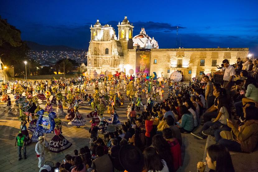
Plaza de la Danza on the map, Oaxaca, Mexico
Photo
Where is located Plaza de la Danza
Plaza de la Danza — local attraction, which is located at C. del 2 de Abril, CALZADA MADERO, Centro, 68000 Oaxaca de Juárez, Oax., Mexico and belongs to the category — tourist attraction. Average visitor rating for this place — 4.5 (according to 4596 ratings, information from open sources and relevant for 2022).
Exact location — Plaza de la Danza, marked on the map with a red marker.
You can get directions to Plaza de la Danza on the map from your location.
What else is interesting in Oaxaca? You can see all the sights if you go to the city page.
Coordinates
Plaza de la Danza, Mexico coordinates in decimal format: latitude — 17.063545992427123, longitude — -96.729885092894. When converted to degrees, minutes, seconds Plaza de la Danza has the following coordinates: 17°3′48.77 north latitude and -96°43′47.59 east longitude.
Nearby cities
The largest cities that are located nearby:
- Tehuacán — 171 km
- Orizaba — 202 km
- Córdoba — 203 km
- Minatitlán — 250 km
- Coatzacoalcos — 266 km
- Puebla — 268 km
- Xalapa — 275 km
- Chilpancingo — 298 km
- Cuautla — 304 km
- Jiutepec — 327 km
- Iguala — 328 km
- Cuernavaca — 333 km
- Chalco de Díaz Covarrubias — 333 km
- Martínez de la Torre — 334 km
- Acapulco — 335 km
- Ixtapaluca — 335 km
- Ciudad Nezahualcóyotl — 351 km
- Chimalhuacan — 351 km
- Texcoco — 352 km
Distance to the capital
Distance to the capital (Mexico City) is about — 366 km.