
 Bokamoso
Buysdorp
Xihosana
Ga-Sekororo
Ga-Rankuwa
Three Sisters
George
Haenertsburg
Polokwane
Bokamoso
Buysdorp
Xihosana
Ga-Sekororo
Ga-Rankuwa
Three Sisters
George
Haenertsburg
Polokwane
Richards Bay Harbour on the map, Richards Bay, South Africa
Photo
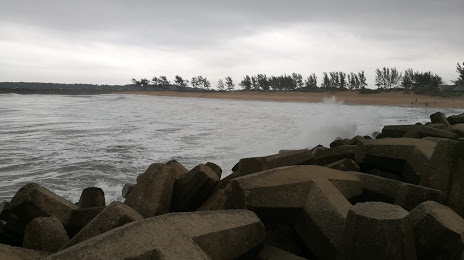
Where is located Richards Bay Harbour
Richards Bay Harbour — local attraction, which is located at no data and belongs to the category — -. Average visitor rating for this place — 4.1 (according to 38 ratings, information from open sources and relevant for 2022).
Exact location — Richards Bay Harbour, marked on the map with a red marker.
You can get directions to Richards Bay Harbour on the map from your location.
What else is interesting in Richards Bay? You can see all the sights if you go to the city page.
Coordinates
Richards Bay Harbour, South Africa coordinates in decimal format: latitude — -28.798381306851905, longitude — 32.08187402606916. When converted to degrees, minutes, seconds Richards Bay Harbour has the following coordinates: -28°47′54.17 north latitude and 32°4′54.75 east longitude.
Nearby cities
The largest cities that are located nearby:
- Durban — 154 km
- Vryheid — 165 km
- Pietermaritzburg — 183 km
- Newcastle — 235 km
- Manzini
 (Swaziland) — 260 km
 - Maputo
 (Mozambique) — 316 km
 - Matola (Mozambique) — 319 km
- Bethal — 362 km
- Nelspruit — 381 km
- Embalenhle — 383 km
- Middelburg — 420 km
- Nigel — 442 km
- Maseru
 (Lesotho) — 443 km
 - Springs — 453 km
- Benoni — 467 km
- Vereeniging — 468 km
- Boksburg — 470 km
- Vanderbijlpark — 475 km
- Kroonstad — 487 km
Distance to the capital
Distance to the capital (Pretoria) is about — 513 km.