
 Gilserberg
Berlin
Bordesholm
Bechtolsheim
Aub
Triptis
Heppenheim
Biblis
Angermünde
Gilserberg
Berlin
Bordesholm
Bechtolsheim
Aub
Triptis
Heppenheim
Biblis
Angermünde
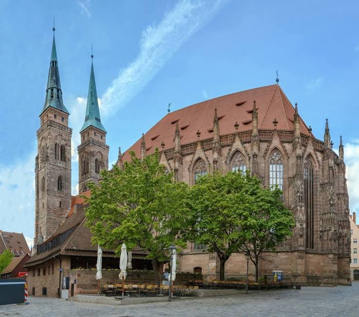
St. Sebald - Sebalduskirche Nürnberg on the map, Nuremberg, Germany
Photo
Where is located St. Sebald - Sebalduskirche Nürnberg
St. Sebald - Sebalduskirche Nürnberg — local attraction, which is located at Winklerstraße 26, 90403 Nürnberg, Germany and belongs to the category — church. Average visitor rating for this place — 4.6 (according to 2216 ratings, information from open sources and relevant for 2022).
Exact location — St. Sebald - Sebalduskirche Nürnberg, marked on the map with a red marker.
You can get directions to St. Sebald - Sebalduskirche Nürnberg on the map from your location.
What else is interesting in Nuremberg? You can see all the sights if you go to the city page.
Coordinates
St. Sebald - Sebalduskirche Nürnberg, Germany coordinates in decimal format: latitude — 49.455194459980504, longitude — 11.075804307929753. When converted to degrees, minutes, seconds St. Sebald - Sebalduskirche Nürnberg has the following coordinates: 49°27′18.7 north latitude and 11°4′32.9 east longitude.
Nearby cities
The largest cities that are located nearby:
- Fürth — 7 km
- Erlangen — 16 km
- Ingolstadt — 80 km
- Würzburg — 89 km
- Regensburg — 89 km
- Augsburg — 120 km
- Heilbronn — 139 km
- Ulm — 141 km
- Munich — 150 km
- Stuttgart — 157 km
- Pilsen
 (Czech Republic) — 167 km
 - Erfurt — 169 km
- Reutlingen — 172 km
- Heidelberg — 173 km
- Gera — 173 km
- Offenbach — 178 km
- Darmstadt — 179 km
- Pforzheim — 184 km
- Frankfurt — 185 km
Distance to the capital
Distance to the capital (Berlin) is about — 378 km.