Lençóis Paulista — Sarzedo
Lençóis Paulista — Jaru
Lençóis Paulista — Jaciara
Lençóis Paulista — Urandi
Lençóis Paulista — Água Santa
Lençóis Paulista — Nonoai
Lençóis Paulista — Itaquaquecetuba
Lençóis Paulista — Porto Mauá
Lençóis Paulista — Guajará-Mirim
Lençóis Paulista — Licínio de Almeida
Lençóis Paulista — Curitiba Airport
Lençóis Paulista — Guaiúba
Lençóis Paulista — Presidente Alves
Lençóis Paulista — Barrinha
Lençóis Paulista — Águas Claras
Lençóis Paulista — Miracatu
Lençóis Paulista — Mirabela
Lençóis Paulista — Nova Alvorada
Lençóis Paulista — Lavras do Sul
Botucatu
Pardinho
Cesário Lange
Boituva
Araçariguama
Itapevi
Jandira
Barueri
Carapicuiba
Pestana
Osasco
Rochdale
Lapa
Congonhas-São Paulo Airport
Cheers
Diadema
Cooperativa
Cubatão
São Vicente
São Vicente
Lençóis Paulista — Praia Grande distance, route on the map
Distance by car
Distance between Lençóis Paulista, São Paulo, Brazil and Praia Grande, São Paulo, Brazil by car is — km, or miles. To travel this distance by car, you need minute, or h.
Route on the map, driving directions
Car route Lençóis Paulista — Praia Grande was created automatically. The road on the map is shown as a blue line. By moving the markers, you can create a new route through the points you need.
Passing cities through which the car route passes: São Manuel, Botucatu, Pardinho, Cesário Lange, Boituva, Araçariguama, Itapevi, Jandira, Barueri, Carapicuiba, Pestana, Osasco, Rochdale, Lapa, Congonhas-São Paulo Airport, Cheers, Diadema, Cooperativa, Cubatão, São Vicente, São Vicente.
Distance by plane
If you decide to take a trip Lençóis Paulista Praia Grande by plane, then you have to fly the distance — 290 km or 180 miles. It is marked on the map with a gray line (between two points in a straight line).
Flight time
Estimated flight time Lençóis Paulista Praia Grande by plane at cruising speed 750 km / h will be — 23 min.
Direction of movement
Brazil, Lençóis Paulista — right-hand traffic. Brazil, Praia Grande — right-hand traffic.
Difference in time
Lençóis Paulista and Praia Grande are in the same time zone. Between them there is no time difference (UTC -3 America/Sao_Paulo).
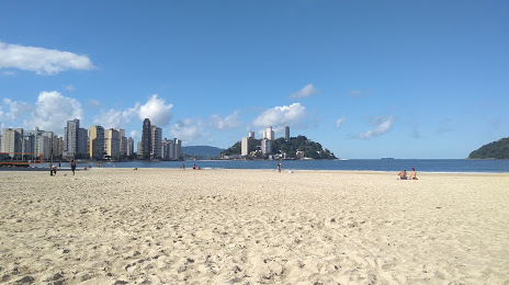
Interesting Facts
Information on alternative ways to get to your destination.
The length of this distance is about 0.7% of the total length of the equator.
The percentage of the population is clearly shown in the graph:
Lençóis Paulista — 57,376 (less by 192,656), Praia Grande — 250,032 residents.
The cost of travel
Calculate the cost of the trip yourself using the fuel consumption calculator, changing the data in the table.