Zempoala — Libres
Zempoala — Guaymas
Zempoala — Zirándaro
Zempoala — El Sauz
Zempoala — Tierra Blanca
Zempoala — Saint Barbara
Zempoala — Jaltenango de la Paz
Zempoala — Palmillas
Zempoala — Mogoñé
Zempoala — Rio Tigre
Zempoala — Los Mélagos
Zempoala — Mariscala de Juárez
Zempoala — Nicolás Bravo
Zempoala — Pátzcuaro
Zempoala — Tecoh Municipality
Zempoala — Santiago Tianguistenco
Zempoala — Guadalupe y Calvo
Zempoala — Ixtapaluca
Zempoala — Llano Chico
Axapusco
San Martin of the Pyramids
San Juan Teotihuacan de Arista
Teotihuacan de Arista
Tezoyuca
Acolman
Ecatepec
Ciudad Nezahualcóyotl
Villa de Aragon
Mexico City International Airport
Atlacomulco
Mexico City
Tres Marias
Tres Marías
Huitzilac
Beautiful view
Cuernavaca
Cantarranas
Temixco
Tres de Mayo
Temixco
Tezoyuca
Xochitepec
Xochitepec
Ahuehuetzingo
Puente de Ixtla
Tequesquitengo
Tehuixtla
Roads
Chilpancingo
Chilpancingo
Palo Blanco
Julian White
Tierra Colorada
Kilómetro 30
Lomas de San Juan
New Frontier
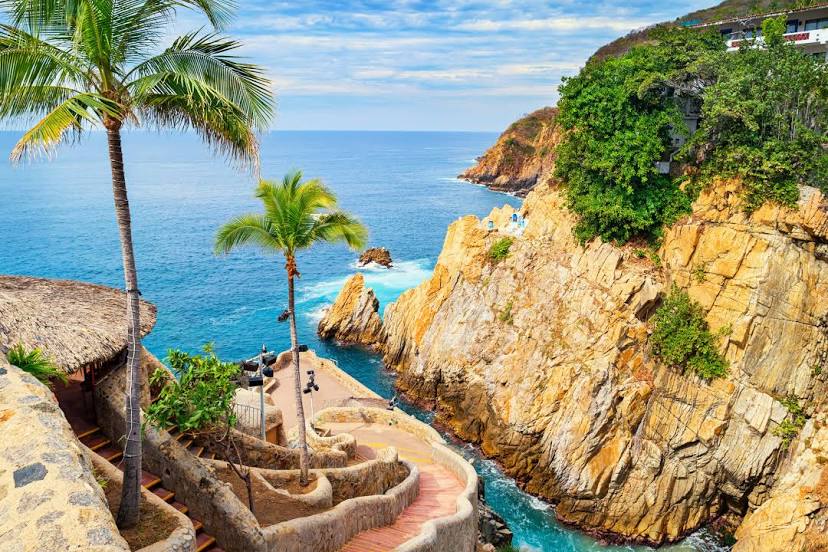
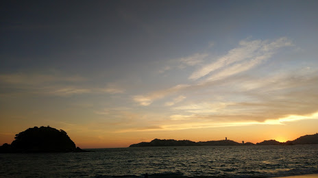
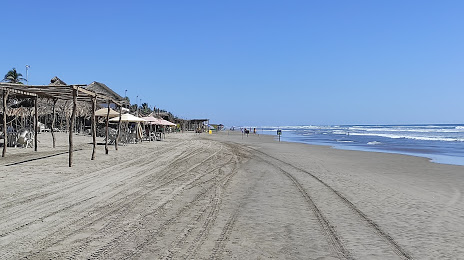
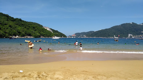
Zempoala — Acapulco distance, route on the map
Distance by car
Distance between Zempoala, Hidalgo, Mexico and Acapulco, Guerrero, Mexico by car is — km, or miles. To travel this distance by car, you need minute, or h.
Route on the map, driving directions
Car route Zempoala — Acapulco was created automatically. The road on the map is shown as a blue line. By moving the markers, you can create a new route through the points you need.
Passing cities through which the car route passes: Nopaltepec, Axapusco, San Martin of the Pyramids, San Juan Teotihuacan de Arista, Teotihuacan de Arista, Tezoyuca, Acolman, Ecatepec, Ciudad Nezahualcóyotl, Villa de Aragon, Mexico City International Airport, Atlacomulco, Mexico City, Tres Marias, Tres Marías, Huitzilac, Beautiful view, Cuernavaca, Cantarranas, Temixco, Tres de Mayo, Temixco, Tezoyuca, Xochitepec, Xochitepec, Ahuehuetzingo, Puente de Ixtla, Tequesquitengo, Tehuixtla, Roads, Chilpancingo, Chilpancingo, Palo Blanco, Julian White, Tierra Colorada, Kilómetro 30, Lomas de San Juan, New Frontier.
Distance by plane
If you decide to take a trip Zempoala Acapulco by plane, then you have to fly the distance — 363 km or 225 miles. It is marked on the map with a gray line (between two points in a straight line).
Flight time
Estimated flight time Zempoala Acapulco by plane at cruising speed 750 km / h will be — 29 min.
Direction of movement
Mexico, Zempoala — right-hand traffic. Mexico, Acapulco — right-hand traffic.
Difference in time
Zempoala and Acapulco are in the same time zone. Between them there is no time difference (UTC -6 America/Mexico_City).
Interesting Facts
Information on alternative ways to get to your destination.
The length of this distance is about 0.9% of the total length of the equator.
The percentage of the population is clearly shown in the graph:
Zempoala — 5,814 (less by 646,346), Acapulco — 652,160 residents.
The cost of travel
Calculate the cost of the trip yourself using the fuel consumption calculator, changing the data in the table.