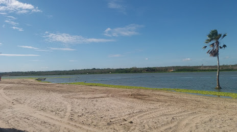
Madre de Deus — Tibau
Madre de Deus — Serra Negra
Madre de Deus — Jacareacanga
Madre de Deus — Vicência
Madre de Deus — Iturama
Madre de Deus — Campo Maior
Madre de Deus — Uruará
Madre de Deus — Dores do Indaiá
Madre de Deus — Soure
Madre de Deus — Guaiúba
Madre de Deus — Munhoz
Madre de Deus — Abaetetuba
Madre de Deus — Prado
Madre de Deus — Senhora dos Remédios
Madre de Deus — Marmeleiro
Madre de Deus — Doutor Camargo
Madre de Deus — Cantanhede
Madre de Deus — Pombos
Madre de Deus — Ildefonso
Santa Bárbara
Serrinha
Teofilândia
Araci
Tucano
Euclides da Cunha
Salgueiro
Jati
Brejo Santo
Milagres
Barro
Pendência
Icó
Jaguaribe
Jaguaribe
Jaguaribara
Tabuleiro do Norte
Limoeiro do Norte
Russas
Madre de Deus — Pacajus distance, route on the map
Distance by car
Distance between Madre de Deus, Bahia, Brazil and Pacajus, Ceará, Brazil by car is — km, or miles. To travel this distance by car, you need minute, or h.
Route on the map, driving directions
Car route Madre de Deus — Pacajus was created automatically. The road on the map is shown as a blue line. By moving the markers, you can create a new route through the points you need.
Passing cities through which the car route passes: Feira de Santana, Santa Bárbara, Serrinha, Teofilândia, Araci, Tucano, Euclides da Cunha, Salgueiro, Jati, Brejo Santo, Milagres, Barro, Pendência, Icó, Jaguaribe, Jaguaribe, Jaguaribara, Tabuleiro do Norte, Limoeiro do Norte, Russas.
Distance by plane
If you decide to take a trip Madre de Deus Pacajus by plane, then you have to fly the distance — 953 km or 591 miles. It is marked on the map with a gray line (between two points in a straight line).
Flight time
Estimated flight time Madre de Deus Pacajus by plane at cruising speed 750 km / h will be — 1 h. and 16 min.
Direction of movement
Brazil, Madre de Deus — right-hand traffic. Brazil, Pacajus — right-hand traffic.
Difference in time
Madre de Deus and Pacajus are in the same time zone. Between them there is no time difference (UTC -3 America/Fortaleza).
Interesting Facts
Information on alternative ways to get to your destination.
The length of this distance is about 2.4% of the total length of the equator.
The percentage of the population is clearly shown in the graph:
Madre de Deus — 14,887 (less by 26,671), Pacajus — 41,558 residents.
The cost of travel
Calculate the cost of the trip yourself using the fuel consumption calculator, changing the data in the table.