 Huimanguillo
Jonuta
Paraíso
Luis Gil Pérez
Minatitlán
Suchiapa
Buenavista
Tacotalpa
Teapa
Matías Romero
San Martín Coapaxtongo
Nazareno Etla
Ixtepec
Salina Cruz
Monte Blanco
Paso del Macho
Isla
Cosolapa
Santa María Huatulco
Huimanguillo
Jonuta
Paraíso
Luis Gil Pérez
Minatitlán
Suchiapa
Buenavista
Tacotalpa
Teapa
Matías Romero
San Martín Coapaxtongo
Nazareno Etla
Ixtepec
Salina Cruz
Monte Blanco
Paso del Macho
Isla
Cosolapa
Santa María Huatulco
Cintalapa on the map, Mexico
Where is located Cintalapa
Exact location — Cintalapa, Chiapas, Mexico, marked on the map with a red marker.
Coordinates
Cintalapa, Mexico coordinates in decimal format: latitude — 16.6878298, longitude — -93.7109117. When converted to degrees, minutes, seconds Cintalapa has the following coordinates: 16°41′16.19 north latitude and -93°42′39.28 east longitude.
Population
Cintalapa, Chiapas, Mexico, according to our data the population is — 33,465 residents, which is about 0% of the total population of the country (Mexico).
Comparison of the population on the graph:
Exact time
Time zone for this location Cintalapa — UTC -6 America/Mexico_City. Exact time — friday, 4 april 2024 year, 03 h. 24 minutes.
Sunrise and sunset
Cintalapa, sunrise and sunset data for a date — friday 26.04.2024.
| Sunrise | Sunset | Day (duration) |
|---|---|---|
| 05:54 -0 minutes | 18:30 -0 minutes | 12 h. 36 minutes. -0 minutes |
You can control the scale of the map using the auxiliary tools to find out exactly where it is located Cintalapa. When you change the scale of the map, the width of the ruler also changes (in kilometers and miles).
Nearby cities
The largest cities that are located nearby:
- Tuxtla Gutiérrez — 65 km
- San Cristóbal de las Casas — 114 km
- Villahermosa — 165 km
- Minatitlán — 168 km
- Coatzacoalcos — 178 km
- Tapachula — 250 km
- Ciudad del Carmen — 295 km
- Quetzaltenango
 (Guatemala) — 312 km
 - Oaxaca — 321 km
- San Juan Sacatepéquez (Guatemala) — 394 km
- Escuintla (Guatemala) — 409 km
- Guatemala City (Guatemala) — 410 km
- Villa Nueva (Guatemala) — 411 km
- Córdoba — 415 km
- Villa Canales (Guatemala) — 421 km
- Orizaba — 428 km
- Tehuacán — 434 km
- Xalapa — 459 km
- Campeche — 479 km
Distance to neighboring capitals:
- Guatemala City (Guatemala) — 411 km
- Belmopan
 (Belize) — 530 km
 - Tegucigalpa
 (Honduras) — 754 km
 - Saint John
 (Puerto Rico) — 2931 km
 - Washington
 (United States) — 2955 km
 - Ottawa
 (Canada) — 3609 km
 - Belgrade
 (Serbia) — 10495 km
 - Podgorica
 (Montenegro) — 10534 km
 - Hagåtña
 (Guam) — 12775 km
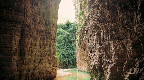
Attractions
Distance to the capital
Distance to the capital (Mexico City) is about — 650 km.