Cruz Grande — Ruiz
Cruz Grande — San Fernando
Cruz Grande — Nautla
Cruz Grande — New Italy
Cruz Grande — China
Cruz Grande — Xalapa
Cruz Grande — Santiago Miltepec
Cruz Grande — Otzolotepec
Cruz Grande — Villa de Tezontepec
Cruz Grande — Puerto Ángel
Cruz Grande — Coacalco de Berriozábal
Cruz Grande — Ignacio Zaragoza
Cruz Grande — Ruiz
Cruz Grande — Calimaya
Cruz Grande — Chamacuero
Cruz Grande — Nuevo Orizaba
Cruz Grande — Silacayoapam
Cruz Grande — Baviácora
Cruz Grande — Xalatlaco
San Marcos
Tierra Colorada
Julian White
Palo Blanco
Chilpancingo
Chilpancingo
Roads
Tehuixtla
Tequesquitengo
Puente de Ixtla
Ahuehuetzingo
Xochitepec
Xochitepec
Tezoyuca
Temixco
Tres de Mayo
Temixco
Cantarranas
Cruz Grande — Ruiz
Cruz Grande — San Fernando
Cruz Grande — Nautla
Cruz Grande — New Italy
Cruz Grande — China
Cruz Grande — Xalapa
Cruz Grande — Santiago Miltepec
Cruz Grande — Otzolotepec
Cruz Grande — Villa de Tezontepec
Cruz Grande — Puerto Ángel
Cruz Grande — Coacalco de Berriozábal
Cruz Grande — Ignacio Zaragoza
Cruz Grande — Ruiz
Cruz Grande — Calimaya
Cruz Grande — Chamacuero
Cruz Grande — Nuevo Orizaba
Cruz Grande — Silacayoapam
Cruz Grande — Baviácora
Cruz Grande — Xalatlaco
San Marcos
Tierra Colorada
Julian White
Palo Blanco
Chilpancingo
Chilpancingo
Roads
Tehuixtla
Tequesquitengo
Puente de Ixtla
Ahuehuetzingo
Xochitepec
Xochitepec
Tezoyuca
Temixco
Tres de Mayo
Temixco
Cantarranas
Cruz Grande — Cuernavaca distance, route on the map
Distance by car
Distance between Cruz Grande, Guerrero, Mexico and Cuernavaca, Morelos, Mexico by car is — km, or miles. To travel this distance by car, you need minute, or h.
Route on the map, driving directions
Car route Cruz Grande — Cuernavaca was created automatically. The road on the map is shown as a blue line. By moving the markers, you can create a new route through the points you need.
Passing cities through which the car route passes: Las Vigas, San Marcos, Tierra Colorada, Julian White, Palo Blanco, Chilpancingo, Chilpancingo, Roads, Tehuixtla, Tequesquitengo, Puente de Ixtla, Ahuehuetzingo, Xochitepec, Xochitepec, Tezoyuca, Temixco, Tres de Mayo, Temixco, Cantarranas.
Distance by plane
If you decide to take a trip Cruz Grande Cuernavaca by plane, then you have to fly the distance — 245 km or 152 miles. It is marked on the map with a gray line (between two points in a straight line).
Flight time
Estimated flight time Cruz Grande Cuernavaca by plane at cruising speed 750 km / h will be — 19 min.
Direction of movement
Mexico, Cruz Grande — right-hand traffic. Mexico, Cuernavaca — right-hand traffic.
Difference in time
Cruz Grande and Cuernavaca are in the same time zone. Between them there is no time difference (UTC -6 America/Mexico_City).
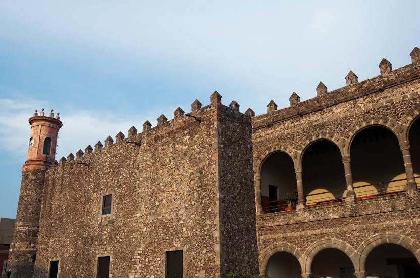
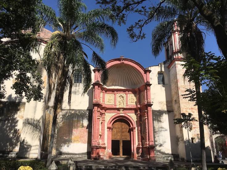
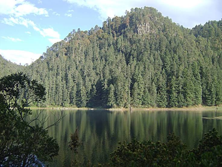
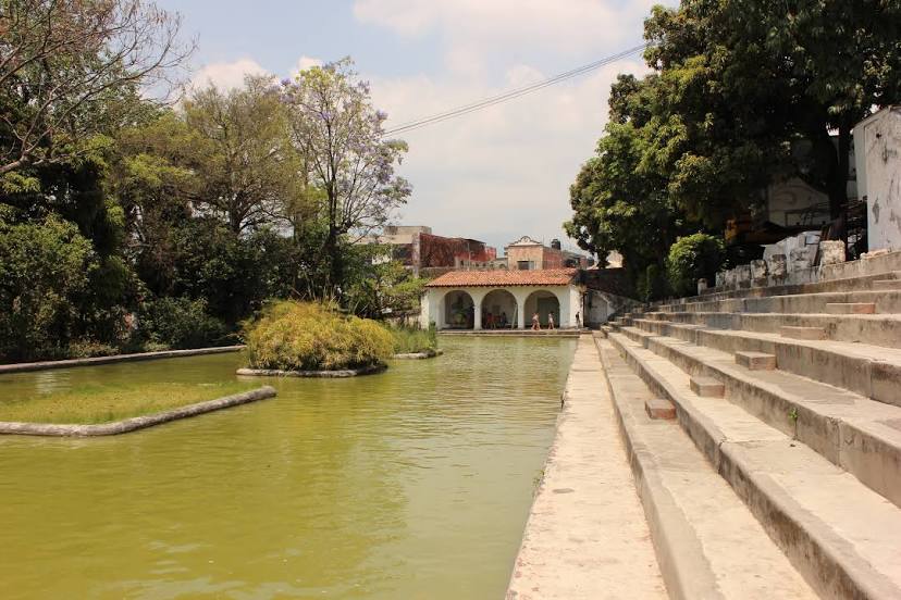
Interesting Facts
Information on alternative ways to get to your destination.
The length of this distance is about 0.6% of the total length of the equator.
The percentage of the population is clearly shown in the graph:
Cruz Grande — 9,876 (less by 333,909), Cuernavaca — 343,785 residents.
The cost of travel
Calculate the cost of the trip yourself using the fuel consumption calculator, changing the data in the table.