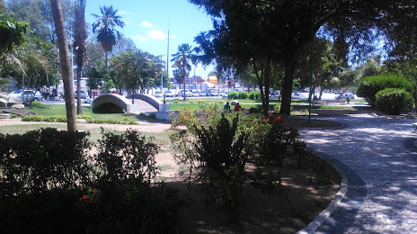
Monte Azul Paulista — Areia Branca
Monte Azul Paulista — Buritama
Monte Azul Paulista — Santos
Monte Azul Paulista — Salgueiro
Monte Azul Paulista — Licínio de Almeida
Monte Azul Paulista — Jacaraci
Monte Azul Paulista — Cerro Azul
Monte Azul Paulista — Torres
Monte Azul Paulista — Pardinho
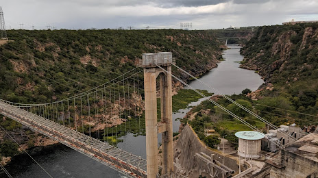
Monte Azul Paulista — Fortaleza
Monte Azul Paulista — Queiroz
Monte Azul Paulista — Assis Chateaubriand
Monte Azul Paulista — Rafael Jambeiro
Monte Azul Paulista — Populina
Monte Azul Paulista — Tefé
Monte Azul Paulista — Amazon
Monte Azul Paulista — Raposos
Monte Azul Paulista — Ceres
Monte Azul Paulista — Matozinhos
Viradouro
Morro Agudo
São Joaquim da Barra
São Joaquim da Barra
Guará
Ituverava
Aramina
Igarapava
Uberaba
Buritizeiro
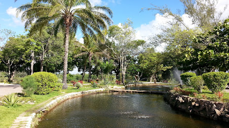
Montes Claros
Curral de Dentro
Vitória da Conquista
Jequié
Santo Estêvão
Feira de Santana
Santa Bárbara
Serrinha
Biritinga
Ribeira do Pombal
Cícero Dantas
Sítio das Chagas
Monte Azul Paulista — Areia Branca
Monte Azul Paulista — Buritama
Monte Azul Paulista — Santos
Monte Azul Paulista — Salgueiro
Monte Azul Paulista — Licínio de Almeida
Monte Azul Paulista — Jacaraci
Monte Azul Paulista — Cerro Azul
Monte Azul Paulista — Torres
Monte Azul Paulista — Pardinho
Monte Azul Paulista — Fortaleza
Monte Azul Paulista — Queiroz
Monte Azul Paulista — Assis Chateaubriand
Monte Azul Paulista — Rafael Jambeiro
Monte Azul Paulista — Populina
Monte Azul Paulista — Tefé
Monte Azul Paulista — Amazon
Monte Azul Paulista — Raposos
Monte Azul Paulista — Ceres
Monte Azul Paulista — Matozinhos
Viradouro
Morro Agudo
São Joaquim da Barra
São Joaquim da Barra
Guará
Ituverava
Aramina
Igarapava
Uberaba
Buritizeiro
Montes Claros
Curral de Dentro
Vitória da Conquista
Jequié
Santo Estêvão
Feira de Santana
Santa Bárbara
Serrinha
Biritinga
Ribeira do Pombal
Cícero Dantas
Sítio das Chagas
Monte Azul Paulista — Paulo Afonso distance, route on the map
Distance by car
Distance between Monte Azul Paulista, São Paulo, Brazil and Paulo Afonso, Bahia, Brazil by car is — km, or miles. To travel this distance by car, you need minute, or h.
Route on the map, driving directions
Car route Monte Azul Paulista — Paulo Afonso was created automatically. The road on the map is shown as a blue line. By moving the markers, you can create a new route through the points you need.
Passing cities through which the car route passes: Bebedouro, Viradouro, Morro Agudo, São Joaquim da Barra, São Joaquim da Barra, Guará, Ituverava, Aramina, Igarapava, Uberaba, Buritizeiro, Montes Claros, Curral de Dentro, Vitória da Conquista, Jequié, Santo Estêvão, Feira de Santana, Santa Bárbara, Serrinha, Biritinga, Ribeira do Pombal, Cícero Dantas, Sítio das Chagas.
Distance by plane
If you decide to take a trip Monte Azul Paulista Paulo Afonso by plane, then you have to fly the distance — 1698 km or 1053 miles. It is marked on the map with a gray line (between two points in a straight line).
Flight time
Estimated flight time Monte Azul Paulista Paulo Afonso by plane at cruising speed 750 km / h will be — 2 h. and 15 min.
Direction of movement
Brazil, Monte Azul Paulista — right-hand traffic. Brazil, Paulo Afonso — right-hand traffic.
Difference in time
Monte Azul Paulista and Paulo Afonso are in the same time zone. Between them there is no time difference (UTC -3 America/Sao_Paulo).
Interesting Facts
Information on alternative ways to get to your destination.
The length of this distance is about 4.2% of the total length of the equator.
The percentage of the population is clearly shown in the graph:
Monte Azul Paulista — 18,117 (less by 67,236), Paulo Afonso — 85,353 residents.
The cost of travel
Calculate the cost of the trip yourself using the fuel consumption calculator, changing the data in the table.