
 Gilserberg
Berlin
Bordesholm
Bechtolsheim
Aub
Triptis
Heppenheim
Biblis
Angermünde
Gilserberg
Berlin
Bordesholm
Bechtolsheim
Aub
Triptis
Heppenheim
Biblis
Angermünde
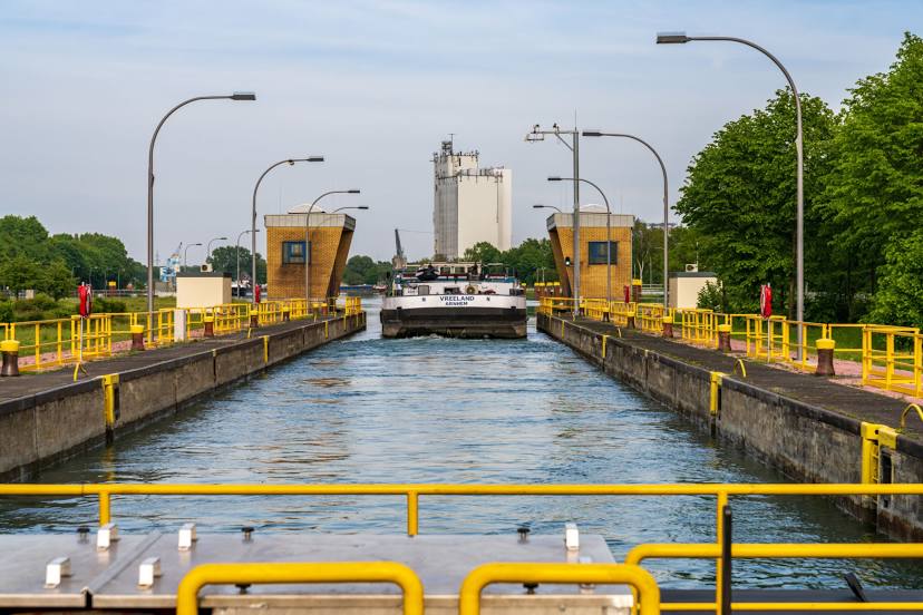
Wesel-Datteln Canal on the map, Wesel, Germany
Photo
Where is located Wesel-Datteln Canal
Wesel-Datteln Canal — local attraction, which is located at 1915 and belongs to the category — -. Average visitor rating for this place — 4.3 (according to 181 rating, information from open sources and relevant for 2022).
Exact location — Wesel-Datteln Canal, marked on the map with a red marker.
You can get directions to Wesel-Datteln Canal on the map from your location.
What else is interesting in Wesel? You can see all the sights if you go to the city page.
Coordinates
Wesel-Datteln Canal, Germany coordinates in decimal format: latitude — 51.66450582240434, longitude — 6.8717884803616105. When converted to degrees, minutes, seconds Wesel-Datteln Canal has the following coordinates: 51°39′52.22 north latitude and 6°52′18.44 east longitude.
Nearby cities
The largest cities that are located nearby:
- Moers — 24 km
- Oberhausen — 25 km
- Bottrop — 26 km
- Duisburg — 27 km
- Mülheim — 32 km
- Essen — 35 km
- Gelsenkirchen — 35 km
- Krefeld — 36 km
- Recklinghausen — 39 km
- Herne — 42 km
- Bochum — 45 km
- Düsseldorf — 49 km
- Neuss — 51 km
- Mönchengladbach — 55 km
- Witten — 56 km
- Nijmegen
 (Netherlands) — 57 km
 - Wuppertal — 58 km
- Dortmund — 60 km
- Arnhem (Netherlands) — 61 km
Distance to the capital
Distance to the capital (Berlin) is about — 456 km.