Choconta — Tambo
Choconta — Tauramena
Choconta — Puerto Leguizamo
Choconta — Guarandá
Choconta — Dabeiba
Choconta — Lobo Guerrero
Choconta — Pipiral
Choconta — Rumichaca
Choconta — St. Helena
Choconta — Pueblo Viejo
Choconta — Pompeii
Choconta — Bosa
Choconta — Piendamó
Choconta — Buga
Choconta — Julio
Choconta — Pinchote
Choconta — Magdalena
Choconta — San Cayetano
Choconta — Nariño
Chocontá
Sesquile
Gachancipá
Tocancipa
Sopó
Tibito
Cajica
Aeropuerto Guaymaral
Usaquén
Bogotá
Bogotá
Chapinero
Teusaquillo
Santa Fe
Puente Aranda
Ciudad Bolívar
Bosa
Choconta — Soacha distance, route on the map
Distance by car
Distance between Choconta, Cundinamarca, Colombia and Soacha, Cundinamarca, Colombia by car is — km, or miles. To travel this distance by car, you need minute, or h.
Route on the map, driving directions
Car route Choconta — Soacha was created automatically. The road on the map is shown as a blue line. By moving the markers, you can create a new route through the points you need.
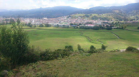
Passing cities through which the car route passes: El Sisga, Chocontá, Sesquile, Gachancipá, Tocancipa, Sopó, Tibito, Cajica, Aeropuerto Guaymaral, Usaquén, Bogotá, Bogotá, Chapinero, Teusaquillo, Santa Fe, Puente Aranda, Ciudad Bolívar, Bosa.
Distance by plane
If you decide to take a trip Choconta Soacha by plane, then you have to fly the distance — 86 km or 53 miles. It is marked on the map with a gray line (between two points in a straight line).
Flight time
Estimated flight time Choconta Soacha by plane at cruising speed 750 km / h will be — 6 min.
Direction of movement
Colombia, Choconta — right-hand traffic. Colombia, Soacha — right-hand traffic.
Difference in time
Choconta and Soacha are in the same time zone. Between them there is no time difference (UTC -5 America/Bogota).
Interesting Facts
Information on alternative ways to get to your destination.
The length of this distance is about 0.2% of the total length of the equator.
The percentage of the population is clearly shown in the graph:
Choconta — 7,592 (less by 306,358), Soacha — 313,950 residents.
The cost of travel
Calculate the cost of the trip yourself using the fuel consumption calculator, changing the data in the table.