Pochuta — Granados
Pochuta — Esquipulas
Pochuta — La Democracia
Pochuta — Santa Maria de Jesus
Pochuta — Semox
Pochuta — Cobán
Pochuta — San Marcos
Pochuta — Huitan
Pochuta — Guatemala
Pochuta — Chispan
Pochuta — San Francisco Zapotitlán
Pochuta — Yepocapa
Pochuta — Santa Rosa Department
Pochuta — Chiantla
Pochuta — Morales
Pochuta — Potrero Carrillo
Pochuta — Los Amates
Pochuta — Pueblo Nuevo Tiquisate
Pochuta — Caballo Blanco
San Lucas Tolimán
San Antonio Palopó
Godínez
Santa Catarina Palopó
San Andrés Semetabaj
Patanatic
Concepción
The meetings
Chaquijya
San Juan Argueta
St. Lucia Utatlán
Pochuta — Nahuala distance, route on the map
Distance by car
Distance between Pochuta, Chimaltenango, Guatemala and Nahuala, Sololá Department, Guatemala by car is — km, or miles. To travel this distance by car, you need minute, or h.
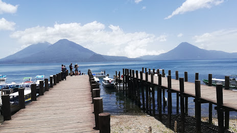
Route on the map, driving directions
Car route Pochuta — Nahuala was created automatically. The road on the map is shown as a blue line. By moving the markers, you can create a new route through the points you need.
Passing cities through which the car route passes: Colonia Pampojila, San Lucas Tolimán, San Antonio Palopó, Godínez, Santa Catarina Palopó, San Andrés Semetabaj, Patanatic, Concepción, The meetings, Chaquijya, San Juan Argueta, St. Lucia Utatlán.
Distance by plane
If you decide to take a trip Pochuta Nahuala by plane, then you have to fly the distance — 40 km or 25 miles. It is marked on the map with a gray line (between two points in a straight line).
Flight time
Estimated flight time Pochuta Nahuala by plane at cruising speed 750 km / h will be — 3 min.
Direction of movement
Guatemala, Pochuta — right-hand traffic. Guatemala, Nahuala — right-hand traffic.
Difference in time
Pochuta and Nahuala are in the same time zone. Between them there is no time difference (UTC -6 America/Guatemala).
Interesting Facts
Information on alternative ways to get to your destination.
The length of this distance is about 0.1% of the total length of the equator.
The percentage of the population is clearly shown in the graph:
Pochuta — 3,799 (less by 23,891), Nahuala — 27,690 residents.
The cost of travel
Calculate the cost of the trip yourself using the fuel consumption calculator, changing the data in the table.