 Pointe-à-la-Croix
Sainte-Irène, Quebec
Marsoui
Hecla
Muskrat Dam
Wunnummin Lake
Sainte-Brigitte-de-Laval
Drayton
Mauricie
Pointe-à-la-Croix
Sainte-Irène, Quebec
Marsoui
Hecla
Muskrat Dam
Wunnummin Lake
Sainte-Brigitte-de-Laval
Drayton
Mauricie
Le Bourg des Cèdres on the map, Pincourt, Canada
Photo
Where is located Le Bourg des Cèdres
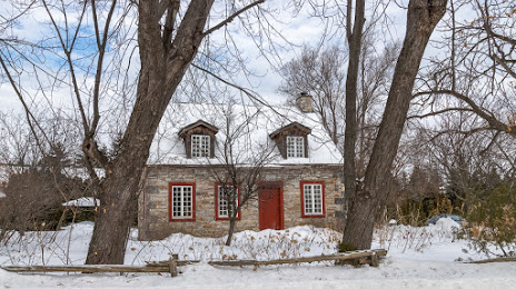
Le Bourg des Cèdres — local attraction, which is located at 490 Chem. du Fleuve, Les Cèdres, QC J7T 1L4, Canada and belongs to the category — winery. Average visitor rating for this place — 4.7 (according to 18 ratings, information from open sources and relevant for 2022).
Exact location — Le Bourg des Cèdres, marked on the map with a red marker.
You can get directions to Le Bourg des Cèdres on the map from your location.
What else is interesting in Pincourt? You can see all the sights if you go to the city page.
Coordinates
Le Bourg des Cèdres, Canada coordinates in decimal format: latitude — 45.316567068317624, longitude — -74.01107209221333. When converted to degrees, minutes, seconds Le Bourg des Cèdres has the following coordinates: 45°18′59.64 north latitude and -74°0′39.86 east longitude.
Nearby cities
The largest cities that are located nearby:
- Laval — 34 km
- Montreal — 36 km
- Longueuil — 41 km
- Gatineau — 134 km
- Trois-Rivières — 154 km
- Sherbrooke — 163 km
- Kingston — 235 km
- Levis — 257 km
- Quebec — 261 km
- Syracuse
 (United States) — 310 km
 - Manchester (United States) — 332 km
- Amherst (United States) — 356 km
- Lowell (United States) — 372 km
- Springfield (United States) — 379 km
- Rochester (United States) — 381 km
- Worcester (United States) — 387 km
- Saguenay — 400 km
- Cambridge (United States) — 406 km
- Boston (United States) — 409 km
Distance to the capital
Distance to the capital (Ottawa) is about — 132 km.