Santana do Paraíso
Guiricema
Campos Gerais
Paraisópolis
Casimiro de Abreu
Miguel Pereira
Santa Cruz do Rio Pardo
Casa Branca
Aparecida
Itatinga
Itu
Ilhabela
Capela do Alto
Mogi-Guaçu
Bady Bassitt
Moreno
Camaragibe
Araçoiaba da Serra
Coruripe
Santana do Paraíso
Guiricema
Campos Gerais
Paraisópolis
Casimiro de Abreu
Miguel Pereira
Santa Cruz do Rio Pardo
Casa Branca
Aparecida
Itatinga
Itu
Ilhabela
Capela do Alto
Mogi-Guaçu
Bady Bassitt
Moreno
Camaragibe
Araçoiaba da Serra
Coruripe
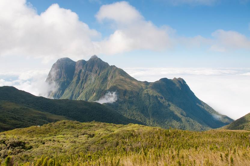
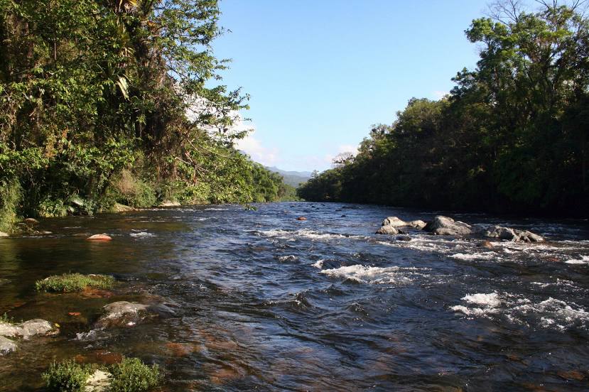
Antonina on the map, Brazil
Where is located Antonina
Exact location — Antonina, Antonina, Paraná, Brazil, marked on the map with a red marker.
Coordinates
Antonina, Brazil coordinates in decimal format: latitude — -25.4328356, longitude — -48.7162067. When converted to degrees, minutes, seconds Antonina has the following coordinates: -25°25′58.21 north latitude and -48°42′58.34 east longitude.
Population
Antonina, Antonina, Paraná, Brazil, according to our data the population is — 16,152 residents, which is about 0% of the total population of the country (Brazil).
Comparison of the population on the graph:
Exact time
Time zone for this location Antonina — UTC -3 America/Sao_Paulo. Exact time — sunday, 4 april 2024 year, 23 h. 57 minutes.
Sunrise and sunset
Antonina, sunrise and sunset data for a date — sunday 28.04.2024.
| Sunrise | Sunset | Day (duration) |
|---|---|---|
| 06:39 +1 minute | 17:45 -1 minute | 11 h. 6 minutes. -2 minutes |
You can control the scale of the map using the auxiliary tools to find out exactly where it is located Antonina. When you change the scale of the map, the width of the ruler also changes (in kilometers and miles).
Nearby cities
The largest cities that are located nearby:
- Paranaguá — 21 km
- Pinhais — 48 km
- São José dos Pinhais — 50 km
- Colombo — 53 km
- Curitiba — 55 km
- Araucária — 71 km
- Joinville — 97 km
- Jaraguá do Sul — 121 km
- Itajaí — 163 km
- Blumenau — 168 km
- Itapetininga — 215 km
- Florianópolis — 240 km
- São José — 241 km
- Palhoça — 245 km
- Sorocaba — 249 km
- Cotia — 272 km
- Guarapuava — 274 km
- Itapevi — 276 km
- Jandira — 280 km
Distance to neighboring capitals:
- Asuncion
 (Paraguay) — 891 km
 - Asuncion (Paraguay) — 896 km
- Montevideo
 (Uruguay) — 1273 km
 - Buenos Aires
 (Argentina) — 1379 km
 - Nuestra Señora de La Paz
 (Bolivia) — 2246 km
 - Santiago
 (Chile) — 2298 km
 - Paramaribo
 (Suriname) — 3550 km
 - Georgetown
 (Guyana) — 3728 km
 - Quito
 (Ecuador) — 4254 km
 - Bogota
 (Colombia) — 4319 km
 - Caracas
 (Venezuela) — 4459 km