Paiçandu — Rodolfo Fernandes
Paiçandu — Faro
Paiçandu — Gouveia
Paiçandu — Valença
Paiçandu — Presidente Venceslau
Paiçandu — Itagi
Paiçandu — Santa Clara do Sul
Paiçandu — Quilombo
Paiçandu — Pedro Velho
Paiçandu — Bento de Abreu
Paiçandu — Sorocaba
Paiçandu — Dois Irmãos
Paiçandu — Munhoz
Paiçandu — Itatiaiuçu
Paiçandu — Iporá
Paiçandu — Campo Belo
Paiçandu — Porto Mauá
Paiçandu — Santa Vitória
Paiçandu — Ibiúna
Santa Fé
Anhumas
Presidente Prudente
Regente Feijó
Sagres
Osvaldo Cruz
Clementina
Penápolis
José Bonifácio
Jaci
Bady Bassitt
Sao Jose de Rio Preto
Olímpia
Barretos
Uberaba
Uberaba
Buritizeiro
Montes Claros
Curral de Dentro
Vitória da Conquista
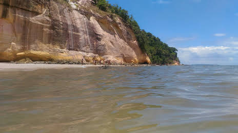
Jequié
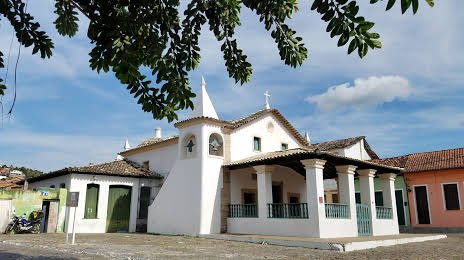
Santo Estêvão
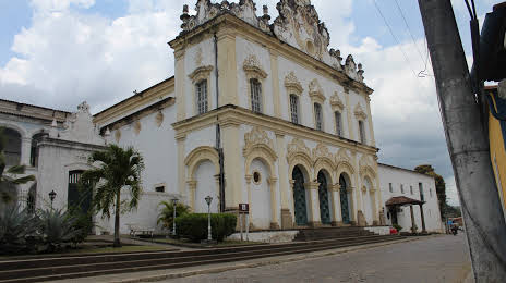
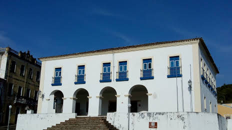
Muritiba
Paiçandu — Rodolfo Fernandes
Paiçandu — Faro
Paiçandu — Gouveia
Paiçandu — Valença
Paiçandu — Presidente Venceslau
Paiçandu — Itagi
Paiçandu — Santa Clara do Sul
Paiçandu — Quilombo
Paiçandu — Pedro Velho
Paiçandu — Bento de Abreu
Paiçandu — Sorocaba
Paiçandu — Dois Irmãos
Paiçandu — Munhoz
Paiçandu — Itatiaiuçu
Paiçandu — Iporá
Paiçandu — Campo Belo
Paiçandu — Porto Mauá
Paiçandu — Santa Vitória
Paiçandu — Ibiúna
Santa Fé
Anhumas
Presidente Prudente
Regente Feijó
Sagres
Osvaldo Cruz
Clementina
Penápolis
José Bonifácio
Jaci
Bady Bassitt
Sao Jose de Rio Preto
Olímpia
Barretos
Uberaba
Uberaba
Buritizeiro
Montes Claros
Curral de Dentro
Vitória da Conquista
Jequié
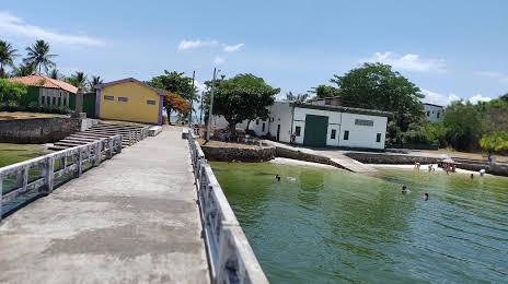
Santo Estêvão
Muritiba
Paiçandu — Cachoeira distance, route on the map
Distance by car
Distance between Paiçandu, Paraná, Brazil and Cachoeira, Bahia, Brazil by car is — km, or miles. To travel this distance by car, you need minute, or h.
Route on the map, driving directions
Car route Paiçandu — Cachoeira was created automatically. The road on the map is shown as a blue line. By moving the markers, you can create a new route through the points you need.
Passing cities through which the car route passes: Ângulo, Santa Fé, Anhumas, Presidente Prudente, Regente Feijó, Sagres, Osvaldo Cruz, Clementina, Penápolis, José Bonifácio, Jaci, Bady Bassitt, Sao Jose de Rio Preto, Olímpia, Barretos, Uberaba, Uberaba, Buritizeiro, Montes Claros, Curral de Dentro, Vitória da Conquista, Jequié, Santo Estêvão, Muritiba.
Distance by plane
If you decide to take a trip Paiçandu Cachoeira by plane, then you have to fly the distance — 1834 km or 1137 miles. It is marked on the map with a gray line (between two points in a straight line).
Flight time
Estimated flight time Paiçandu Cachoeira by plane at cruising speed 750 km / h will be — 2 h. and 26 min.
Direction of movement
Brazil, Paiçandu — right-hand traffic. Brazil, Cachoeira — right-hand traffic.
Difference in time
Paiçandu and Cachoeira are in the same time zone. Between them there is no time difference (UTC -3 America/Sao_Paulo).
Interesting Facts
Information on alternative ways to get to your destination.
The length of this distance is about 4.6% of the total length of the equator.
The percentage of the population is clearly shown in the graph:
Paiçandu — 34,365, Cachoeira — 16,145 residents (less by 18,220).
The cost of travel
Calculate the cost of the trip yourself using the fuel consumption calculator, changing the data in the table.