Santa Cruz do Rio Pardo
Casa Branca
Aparecida
Cachoeira Paulista
Jacutinga
Moju
Visconde do Rio Branco
Bom Jesus do Itabapoana
Taiobeiras
São João Batista
Barra Velha
Orleans
Rio dos Cedros
Santo Antônio da Platina
Serra Negra
Itatinga
Itu
Ilhabela
Capela do Alto
Santa Cruz do Rio Pardo
Casa Branca
Aparecida
Cachoeira Paulista
Jacutinga
Moju
Visconde do Rio Branco
Bom Jesus do Itabapoana
Taiobeiras
São João Batista
Barra Velha
Orleans
Rio dos Cedros
Santo Antônio da Platina
Serra Negra
Itatinga
Itu
Ilhabela
Capela do Alto
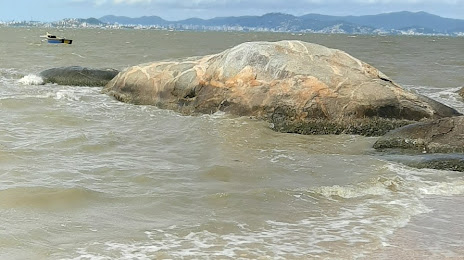
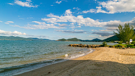
Santo Amaro da Imperatriz on the map, Brazil
Where is located Santo Amaro da Imperatriz
Exact location — Santo Amaro da Imperatriz, Santo Amaro da Imperatriz, Santa Catarina, Brazil, marked on the map with a red marker.
Coordinates
Santo Amaro da Imperatriz, Brazil coordinates in decimal format: latitude — -27.6856839, longitude — -48.7817857. When converted to degrees, minutes, seconds Santo Amaro da Imperatriz has the following coordinates: -27°41′8.46 north latitude and -48°46′54.43 east longitude.
Population
Santo Amaro da Imperatriz, Santo Amaro da Imperatriz, Santa Catarina, Brazil, according to our data the population is — 18,420 residents, which is about 0% of the total population of the country (Brazil).
Comparison of the population on the graph:
Exact time
Time zone for this location Santo Amaro da Imperatriz — UTC -3 America/Sao_Paulo. Exact time — wednesday, 5 may 2024 year, 22 h. 48 minutes.
Sunrise and sunset
Santo Amaro da Imperatriz, sunrise and sunset data for a date — wednesday 1.05.2024.
| Sunrise | Sunset | Day (duration) |
|---|---|---|
| 06:44 +1 minute | 17:40 -1 minute | 10 h. 54 minutes. -2 minutes |
You can control the scale of the map using the auxiliary tools to find out exactly where it is located Santo Amaro da Imperatriz. When you change the scale of the map, the width of the ruler also changes (in kilometers and miles).
Nearby cities
The largest cities that are located nearby:
- Palhoça — 12 km
- São José — 16 km
- Florianópolis — 25 km
- Itajaí — 86 km
- Blumenau — 90 km
- Criciúma — 123 km
- Jaraguá do Sul — 136 km
- Lages — 152 km
- Joinville — 153 km
- Araucária — 240 km
- Paranaguá — 241 km
- São José dos Pinhais — 242 km
- Pinhais — 251 km
- Curitiba — 254 km
- Colombo — 268 km
- Caxias do Sul — 283 km
- Novo Hamburgo — 316 km
- São Leopoldo — 323 km
- Gravataí — 327 km
Distance to neighboring capitals:
- Asuncion
 (Paraguay) — 916 km
 - Asuncion (Paraguay) — 921 km
- Montevideo
 (Uruguay) — 1065 km
 - Buenos Aires
 (Argentina) — 1194 km
 - Santiago
 (Chile) — 2185 km
 - Nuestra Señora de La Paz
 (Bolivia) — 2347 km
 - Paramaribo
 (Suriname) — 3794 km
 - Georgetown
 (Guyana) — 3966 km
 - Quito
 (Ecuador) — 4402 km
 - Bogota
 (Colombia) — 4501 km
 - Caracas
 (Venezuela) — 4678 km