Laranjeiras do Sul — Piúma
Laranjeiras do Sul — Dona Francisca
Laranjeiras do Sul — Carmo
Laranjeiras do Sul — Km 40
Laranjeiras do Sul — Roque Gonzales
Laranjeiras do Sul — Pentecoste
Laranjeiras do Sul — Guarulhos
Laranjeiras do Sul — Ponta Grossa
Laranjeiras do Sul — Itabuna
Laranjeiras do Sul — Jacinto Machado
Laranjeiras do Sul — Amapá
Laranjeiras do Sul — Camocim
Laranjeiras do Sul — Espumoso
Laranjeiras do Sul — Taquara
Laranjeiras do Sul — Siriri
Laranjeiras do Sul — Camboriú
Laranjeiras do Sul — Paraopeba
Laranjeiras do Sul — Angelina
Laranjeiras do Sul — State of Maranhão
Guarapuava
Irati
Palmeira
Campo Largo
Campo Magro
Curitiba
Pinhais
São José dos Pinhais
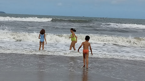
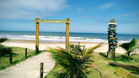
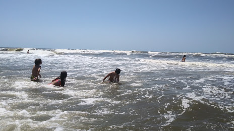
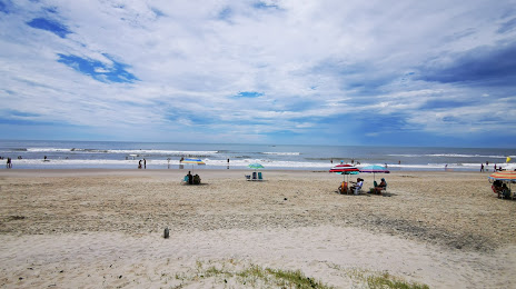
Laranjeiras do Sul — Matinhos distance, route on the map
Distance by car
Distance between Laranjeiras do Sul, Paraná, Brazil and Matinhos, Paraná, Brazil by car is — km, or miles. To travel this distance by car, you need minute, or h.
Route on the map, driving directions
Car route Laranjeiras do Sul — Matinhos was created automatically. The road on the map is shown as a blue line. By moving the markers, you can create a new route through the points you need.
Passing cities through which the car route passes: Virmond, Guarapuava, Irati, Palmeira, Campo Largo, Campo Magro, Curitiba, Pinhais, São José dos Pinhais.
Distance by plane
If you decide to take a trip Laranjeiras do Sul Matinhos by plane, then you have to fly the distance — 391 km or 242 miles. It is marked on the map with a gray line (between two points in a straight line).
Flight time
Estimated flight time Laranjeiras do Sul Matinhos by plane at cruising speed 750 km / h will be — 31 min.
Direction of movement
Brazil, Laranjeiras do Sul — right-hand traffic. Brazil, Matinhos — right-hand traffic.
Difference in time
Laranjeiras do Sul and Matinhos are in the same time zone. Between them there is no time difference (UTC -3 America/Sao_Paulo).
Interesting Facts
Information on alternative ways to get to your destination.
The length of this distance is about 1.0% of the total length of the equator.
The percentage of the population is clearly shown in the graph:
Laranjeiras do Sul — 18,425 (less by 13,583), Matinhos — 32,008 residents.
The cost of travel
Calculate the cost of the trip yourself using the fuel consumption calculator, changing the data in the table.