Araguari
Mateus Leme
Nova Prata
Itaqui
Ronda Alta
Poloni
Paranapanema
Quatá
Colina
Anadia
Mari
Parelhas
Varjota
União dos Palmares
Apodi
Malhador
Mombaça
Laranjeiras do Sul
Bom Retiro do Sul
Araguari
Mateus Leme
Nova Prata
Itaqui
Ronda Alta
Poloni
Paranapanema
Quatá
Colina
Anadia
Mari
Parelhas
Varjota
União dos Palmares
Apodi
Malhador
Mombaça
Laranjeiras do Sul
Bom Retiro do Sul
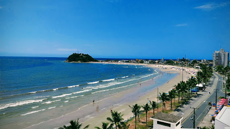
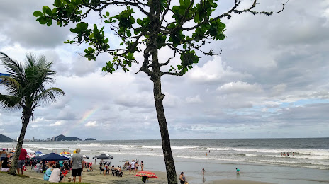
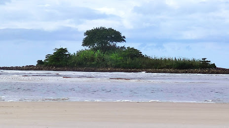
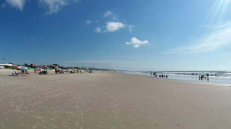
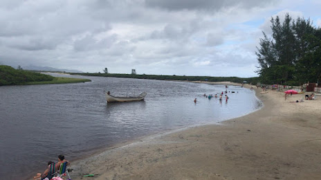
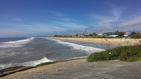
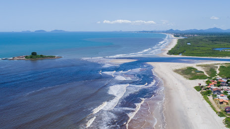
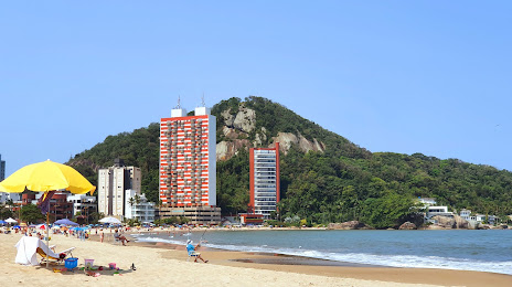
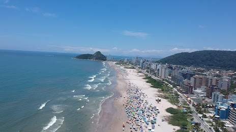
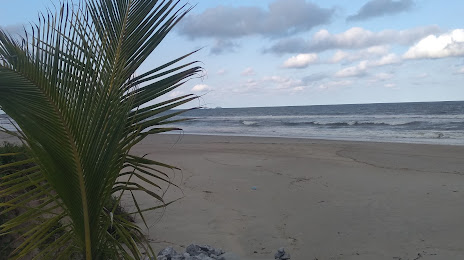
Guaratuba on the map, Brazil
Where is located Guaratuba
Exact location — Guaratuba, Guaratuba, Paraná, Brazil, marked on the map with a red marker.
Coordinates
Guaratuba, Brazil coordinates in decimal format: latitude — -25.8804742, longitude — -48.5737662. When converted to degrees, minutes, seconds Guaratuba has the following coordinates: -25°52′49.71 north latitude and -48°34′25.56 east longitude.
Population
Guaratuba, Guaratuba, Paraná, Brazil, according to our data the population is — 18,906 residents, which is about 0% of the total population of the country (Brazil).
Comparison of the population on the graph:
Exact time
Time zone for this location Guaratuba — UTC -3 America/Sao_Paulo. Exact time — sunday, 4 april 2024 year, 04 h. 51 minute.
Sunrise and sunset
Guaratuba, sunrise and sunset data for a date — sunday 28.04.2024.
| Sunrise | Sunset | Day (duration) |
|---|---|---|
| 06:39 +1 minute | 17:44 -1 minute | 11 h. 6 minutes. -2 minutes |
You can control the scale of the map using the auxiliary tools to find out exactly where it is located Guaratuba. When you change the scale of the map, the width of the ruler also changes (in kilometers and miles).
Nearby cities
The largest cities that are located nearby:
- Paranaguá — 41 km
- Joinville — 54 km
- São José dos Pinhais — 74 km
- Pinhais — 78 km
- Jaraguá do Sul — 83 km
- Curitiba — 85 km
- Araucária — 89 km
- Colombo — 92 km
- Itajaí — 114 km
- Blumenau — 125 km
- Florianópolis — 190 km
- São José — 192 km
- Palhoça — 195 km
- Itapetininga — 259 km
- Lages — 274 km
- Sorocaba — 287 km
- Guarapuava — 294 km
- Praia Grande — 301 km
- Cotia — 303 km
Distance to neighboring capitals:
- Asuncion
 (Paraguay) — 906 km
 - Asuncion (Paraguay) — 911 km
- Montevideo
 (Uruguay) — 1239 km
 - Buenos Aires
 (Argentina) — 1351 km
 - Nuestra Señora de La Paz
 (Bolivia) — 2278 km
 - Santiago
 (Chile) — 2288 km
 - Paramaribo
 (Suriname) — 3601 km
 - Georgetown
 (Guyana) — 3780 km
 - Quito
 (Ecuador) — 4295 km
 - Bogota
 (Colombia) — 4365 km
 - Caracas
 (Venezuela) — 4510 km