Ouro Fino — Bento de Abreu
Ouro Fino — Paranaguá
Ouro Fino — Primeiro de Maio
Ouro Fino — Montanha
Ouro Fino — Porto Feliz
Ouro Fino — Augusto Severo International Airport
Ouro Fino — Itarana
Ouro Fino — Itapetim
Ouro Fino — São Luís do Quitunde
Ouro Fino — Agudo
Ouro Fino — Calafate
Ouro Fino — Atalaia do Norte
Ouro Fino — Reserva
Ouro Fino — Laje
Ouro Fino — Vitória
Ouro Fino — Alegrete
Ouro Fino — Rifaina
Ouro Fino — Nepomuceno
Ouro Fino — Aeroporto Internacional de Foz do Iguaçu - Cataratas
Borda da Mata
Pouso Alegre
Hill Santa Barbara
São Sebastião da Bela Vista
Campanha
Três Corações
Carmo da Cachoeira
Carmo da Cachoeira
Lavras
Itutinga
São João del Rei
Tiradentes
Lagoa Dourada
Entre Rios de Minas
Congonhas
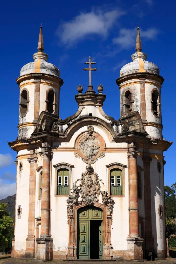
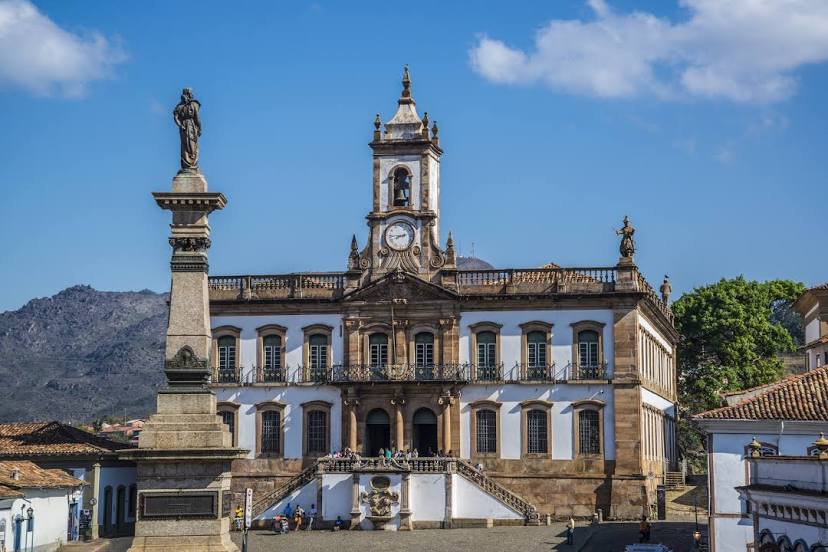
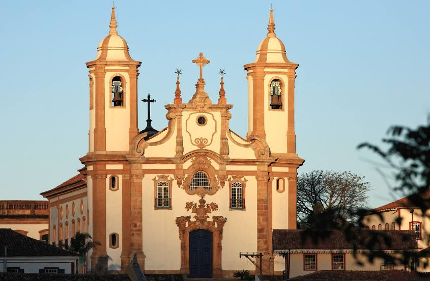
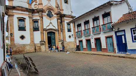
Ouro Preto
Ouro Fino — Bento de Abreu
Ouro Fino — Paranaguá
Ouro Fino — Primeiro de Maio
Ouro Fino — Montanha
Ouro Fino — Porto Feliz
Ouro Fino — Augusto Severo International Airport
Ouro Fino — Itarana
Ouro Fino — Itapetim
Ouro Fino — São Luís do Quitunde
Ouro Fino — Agudo
Ouro Fino — Calafate
Ouro Fino — Atalaia do Norte
Ouro Fino — Reserva
Ouro Fino — Laje
Ouro Fino — Vitória
Ouro Fino — Alegrete
Ouro Fino — Rifaina
Ouro Fino — Nepomuceno
Ouro Fino — Aeroporto Internacional de Foz do Iguaçu - Cataratas
Borda da Mata
Pouso Alegre
Hill Santa Barbara
São Sebastião da Bela Vista
Campanha
Três Corações
Carmo da Cachoeira
Carmo da Cachoeira
Lavras
Itutinga
São João del Rei
Tiradentes
Lagoa Dourada
Entre Rios de Minas
Congonhas
Ouro Preto
Ouro Fino — Ouro Preto distance, route on the map
Distance by car
Distance between Ouro Fino, Minas Gerais, Brazil and Ouro Preto, Minas Gerais, Brazil by car is — km, or miles. To travel this distance by car, you need minute, or h.
Route on the map, driving directions
Car route Ouro Fino — Ouro Preto was created automatically. The road on the map is shown as a blue line. By moving the markers, you can create a new route through the points you need.
Passing cities through which the car route passes: Inconfidentes, Borda da Mata, Pouso Alegre, Hill Santa Barbara, São Sebastião da Bela Vista, Campanha, Três Corações, Carmo da Cachoeira, Carmo da Cachoeira, Lavras, Itutinga, São João del Rei, Tiradentes, Lagoa Dourada, Entre Rios de Minas, Congonhas, Ouro Preto.
Distance by plane
If you decide to take a trip Ouro Fino Ouro Preto by plane, then you have to fly the distance — 364 km or 226 miles. It is marked on the map with a gray line (between two points in a straight line).
Flight time
Estimated flight time Ouro Fino Ouro Preto by plane at cruising speed 750 km / h will be — 29 min.
Direction of movement
Brazil, Ouro Fino — right-hand traffic. Brazil, Ouro Preto — right-hand traffic.
Difference in time
Ouro Fino and Ouro Preto are in the same time zone. Between them there is no time difference (UTC -3 America/Sao_Paulo).
Interesting Facts
Information on alternative ways to get to your destination.
The length of this distance is about 0.9% of the total length of the equator.
The cost of travel
Calculate the cost of the trip yourself using the fuel consumption calculator, changing the data in the table.