
 Socorro
Cumaral
La Victoria
Circasia
Rovira
Madrid
San Jeronimo
La Ceja
Sonson
El Doncello
Tenjo
El Rosal
Gama
Santa Barbara
Anserma
Cogua
Carmen De Carupa
California
Lourdes
Socorro
Cumaral
La Victoria
Circasia
Rovira
Madrid
San Jeronimo
La Ceja
Sonson
El Doncello
Tenjo
El Rosal
Gama
Santa Barbara
Anserma
Cogua
Carmen De Carupa
California
Lourdes
Riohacha on the map, Colombia
Where is located Riohacha
Exact location — Riohacha, Riohacha, La Guajira, Colombia, marked on the map with a red marker.
Coordinates
Riohacha, Colombia coordinates in decimal format: latitude — 11.54448, longitude — -72.90725. When converted to degrees, minutes, seconds Riohacha has the following coordinates: 11°32′40.13 north latitude and -72°54′26.1 east longitude.
Population
Riohacha, Riohacha, La Guajira, Colombia, according to our data the population is — 92,433 residents, which is about 0.2% of the total population of the country (Colombia).
Comparison of the population on the graph:
Exact time
Time zone for this location Riohacha — UTC -5 America/Bogota. Exact time — saturday, 4 april 2024 year, 07 h. 08 minutes.
Sunrise and sunset
Riohacha, sunrise and sunset data for a date — saturday 27.04.2024.
| Sunrise | Sunset | Day (duration) |
|---|---|---|
| 05:36 -0 minutes | 18:02 +1 minute | 12 h. 24 minutes. +1 minute |
You can control the scale of the map using the auxiliary tools to find out exactly where it is located Riohacha. When you change the scale of the map, the width of the ruler also changes (in kilometers and miles).
Nearby cities
The largest cities that are located nearby:
- Maicao — 75 km
- Valledupar — 124 km
- Santa Marta — 145 km
- Maracaibo
 (Venezuela) — 171 km
 - Cabimas (Venezuela) — 202 km
- Soledad — 213 km
- Barranquilla — 214 km
- Malambo — 216 km
- Setpoint (Venezuela) — 296 km
- Cartagena — 312 km
- Magangué — 325 km
- Coro (Venezuela) — 350 km
- Sincelejo — 368 km
- Ejido (Venezuela) — 378 km
- Merida (Venezuela) — 378 km
- Cúcuta — 407 km
- Barquisimeto (Venezuela) — 422 km
- San Cristobal (Venezuela) — 424 km
- Barinas (Venezuela) — 435 km
Distance to neighboring capitals:
- Caracas (Venezuela) — 662 km
- Panama
 (Panama) — 777 km
 - San Jose
 (Costa Rica) — 1235 km
 - Quito
 (Ecuador) — 1442 km
 - Georgetown
 (Guyana) — 1702 km
 - Nuestra Señora de La Paz
 (Bolivia) — 3163 km
 - Asuncion
 (Paraguay) — 4419 km
 - Santiago
 (Chile) — 5009 km
 - Buenos Aires
 (Argentina) — 5357 km
 - Montevideo
 (Uruguay) — 5459 km
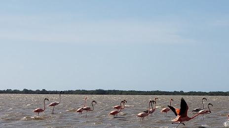
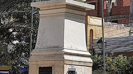
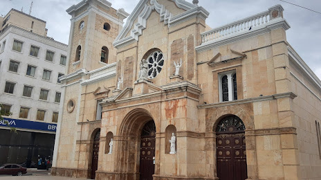
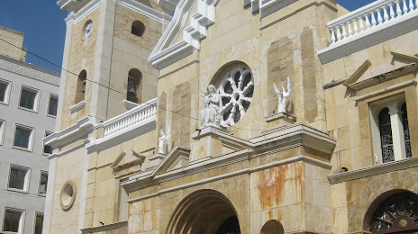
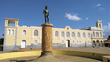
Attractions
Distance to the capital
Distance to the capital (Bogota) is about — 783 km.