Boa Esperança do Sul — Francisco Beltrão
Boa Esperança do Sul — Faxinal do Soturno
Boa Esperança do Sul — Itaara
Boa Esperança do Sul — Rodeio
Boa Esperança do Sul — Piúma
Boa Esperança do Sul — Jucurutu
Boa Esperança do Sul — São Vicente
Boa Esperança do Sul — Pindorama
Boa Esperança do Sul — Encruzilhada
Boa Esperança do Sul — Fernando de Noronha
Boa Esperança do Sul — Mirabela
Boa Esperança do Sul — Mariluz
Boa Esperança do Sul — Urubá
Boa Esperança do Sul — Tracuateua
Boa Esperança do Sul — Pernambuco
Boa Esperança do Sul — Barra do Rocha
Boa Esperança do Sul — Porto Seguro
Boa Esperança do Sul — Cajazeiras
Boa Esperança do Sul — Alfredo Marcondes
Ribeirão Preto
Ribeirão Preto
Jardinópolis
Brodowski
Franca
Pedregulho
Rifaina
Rifaina
Sacramento
Araxá
Serra do Salitre
Buritizeiro
Montes Claros
Curral de Dentro
Vitória da Conquista
Jequié
Santo Estêvão
Feira de Santana
Estaleiro
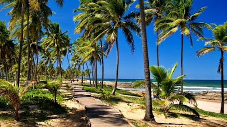
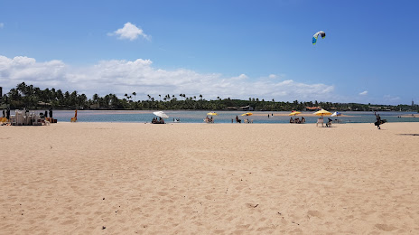
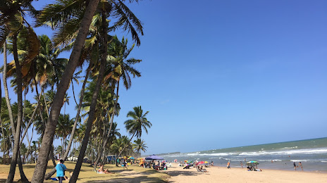
Boa Esperança do Sul — Lauro de Freitas distance, route on the map
Distance by car
Distance between Boa Esperança do Sul, São Paulo, Brazil and Lauro de Freitas, Bahia, Brazil by car is — km, or miles. To travel this distance by car, you need minute, or h.
Route on the map, driving directions
Car route Boa Esperança do Sul — Lauro de Freitas was created automatically. The road on the map is shown as a blue line. By moving the markers, you can create a new route through the points you need.
Passing cities through which the car route passes: Américo Brasiliense, Ribeirão Preto, Ribeirão Preto, Jardinópolis, Brodowski, Franca, Pedregulho, Rifaina, Rifaina, Sacramento, Araxá, Serra do Salitre, Buritizeiro, Montes Claros, Curral de Dentro, Vitória da Conquista, Jequié, Santo Estêvão, Feira de Santana, Estaleiro.
Distance by plane
If you decide to take a trip Boa Esperança do Sul Lauro de Freitas by plane, then you have to fly the distance — 1472 km or 913 miles. It is marked on the map with a gray line (between two points in a straight line).
Flight time
Estimated flight time Boa Esperança do Sul Lauro de Freitas by plane at cruising speed 750 km / h will be — 1 h. and 57 min.
Direction of movement
Brazil, Boa Esperança do Sul — right-hand traffic. Brazil, Lauro de Freitas — right-hand traffic.
Difference in time
Boa Esperança do Sul and Lauro de Freitas are in the same time zone. Between them there is no time difference (UTC -3 America/Sao_Paulo).
Interesting Facts
Information on alternative ways to get to your destination.
The length of this distance is about 3.7% of the total length of the equator.
The percentage of the population is clearly shown in the graph:
Boa Esperança do Sul — 10,787 (less by 130,493), Lauro de Freitas — 141,280 residents.
The cost of travel
Calculate the cost of the trip yourself using the fuel consumption calculator, changing the data in the table.