São Domingos do Prata — Barretos
São Domingos do Prata — Prado
São Domingos do Prata — Canarana
São Domingos do Prata — Cabreúva
São Domingos do Prata — Boto
São Domingos do Prata — Gavião Peixoto
São Domingos do Prata — Teixeiras
São Domingos do Prata — Iguape
São Domingos do Prata — Floreal
São Domingos do Prata — Itaú
São Domingos do Prata — Cambará do Sul
São Domingos do Prata — Escuro
São Domingos do Prata — Gameleira
São Domingos do Prata — Marilândia do Sul
São Domingos do Prata — Portão
São Domingos do Prata — Santa Cecília
São Domingos do Prata — Pedra Azul
São Domingos do Prata — Cacoal
São Domingos do Prata — Santa Maria do Pará
Timóteo
Coronel Fabriciano
Ipatinga
Santana do Paraíso
Ipaba
Naque
Valadares Governor
Frei Inocêncio
Jampruca
Campanário
Itambacuri
Teófilo Otoni
Padre Paraíso
Itaobim
Vitória da Conquista
Jequié
Santo Estêvão
Feira de Santana
Teodoro Sampaio
Alagoinhas
Entre Rios
Esplanada
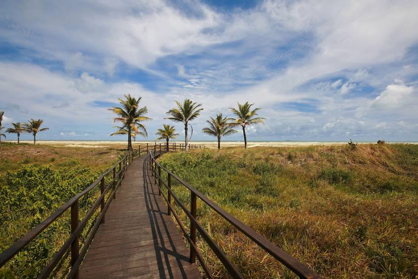
Estância
São Cristóvão
São Domingos do Prata — Barretos
São Domingos do Prata — Prado
São Domingos do Prata — Canarana
São Domingos do Prata — Cabreúva
São Domingos do Prata — Boto
São Domingos do Prata — Gavião Peixoto
São Domingos do Prata — Teixeiras
São Domingos do Prata — Iguape
São Domingos do Prata — Floreal
São Domingos do Prata — Itaú
São Domingos do Prata — Cambará do Sul
São Domingos do Prata — Escuro
São Domingos do Prata — Gameleira
São Domingos do Prata — Marilândia do Sul
São Domingos do Prata — Portão
São Domingos do Prata — Santa Cecília
São Domingos do Prata — Pedra Azul
São Domingos do Prata — Cacoal
São Domingos do Prata — Santa Maria do Pará
Timóteo
Coronel Fabriciano
Ipatinga
Santana do Paraíso
Ipaba
Naque
Valadares Governor
Frei Inocêncio
Jampruca
Campanário
Itambacuri
Teófilo Otoni
Padre Paraíso
Itaobim
Vitória da Conquista
Jequié
Santo Estêvão
Feira de Santana
Teodoro Sampaio
Alagoinhas
Entre Rios
Esplanada
Estância
São Cristóvão
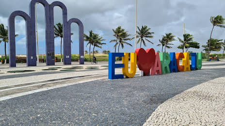
São Domingos do Prata — Aracaju distance, route on the map
Distance by car
Distance between São Domingos do Prata, Minas Gerais, Brazil and Aracaju, Sergipe, Brazil by car is — km, or miles. To travel this distance by car, you need minute, or h.
Route on the map, driving directions
Car route São Domingos do Prata — Aracaju was created automatically. The road on the map is shown as a blue line. By moving the markers, you can create a new route through the points you need.
Passing cities through which the car route passes: Nova Era, Timóteo, Coronel Fabriciano, Ipatinga, Santana do Paraíso, Ipaba, Naque, Valadares Governor, Frei Inocêncio, Jampruca, Campanário, Itambacuri, Teófilo Otoni, Padre Paraíso, Itaobim, Vitória da Conquista, Jequié, Santo Estêvão, Feira de Santana, Teodoro Sampaio, Alagoinhas, Entre Rios, Esplanada, Estância, São Cristóvão.
Distance by plane
If you decide to take a trip São Domingos do Prata Aracaju by plane, then you have to fly the distance — 1176 km or 729 miles. It is marked on the map with a gray line (between two points in a straight line).
Flight time
Estimated flight time São Domingos do Prata Aracaju by plane at cruising speed 750 km / h will be — 1 h. and 34 min.
Direction of movement
Brazil, São Domingos do Prata — right-hand traffic. Brazil, Aracaju — right-hand traffic.
Difference in time
São Domingos do Prata and Aracaju are in the same time zone. Between them there is no time difference (UTC -3 America/Sao_Paulo).
Interesting Facts
Information on alternative ways to get to your destination.
The length of this distance is about 2.9% of the total length of the equator.
The percentage of the population is clearly shown in the graph:
São Domingos do Prata — 9,466 (less by 480,718), Aracaju — 490,184 residents.
The cost of travel
Calculate the cost of the trip yourself using the fuel consumption calculator, changing the data in the table.