
 Belém
Maranguape
Paranaguá
Paranaguá
Monte Alegre
Alvorada de Minas
Bragança
Laguna
Ibiporã
Belém
Maranguape
Paranaguá
Paranaguá
Monte Alegre
Alvorada de Minas
Bragança
Laguna
Ibiporã
Stella Maris beach on the map, Salvador, Brazil
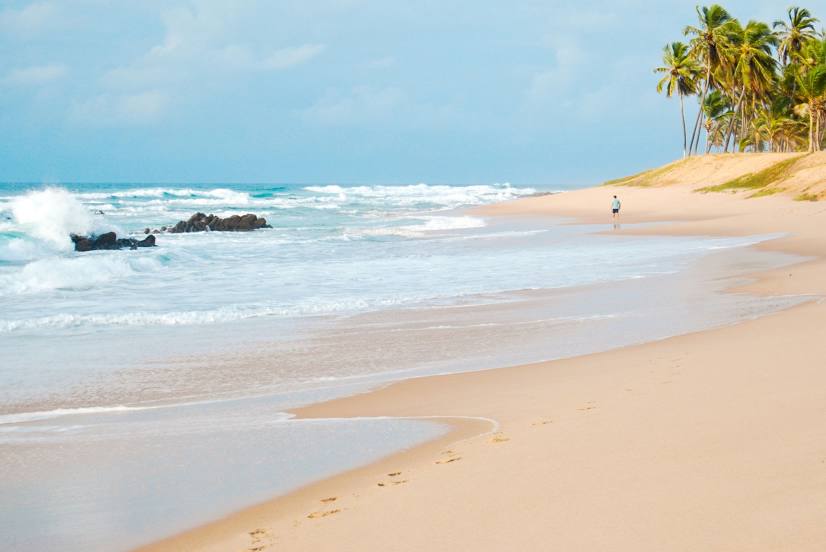
Photo
Where is located Stella Maris beach
Stella Maris beach — local attraction, which is located at no data and belongs to the category — -. Average visitor rating for this place — 4.6 (according to 904 ratings, information from open sources and relevant for 2022).
Exact location — Stella Maris beach, marked on the map with a red marker.
You can get directions to Stella Maris beach on the map from your location.
What else is interesting in Salvador? You can see all the sights if you go to the city page.
Coordinates
Stella Maris beach, Brazil coordinates in decimal format: latitude — -12.94903832207692, longitude — -38.34160460326329. When converted to degrees, minutes, seconds Stella Maris beach has the following coordinates: -12°56′56.54 north latitude and -38°20′29.78 east longitude.
Nearby cities
The largest cities that are located nearby:
- Lauro de Freitas — 23 km
- Camaçari — 36 km
- Alagoinhas — 93 km
- Feira de Santana — 93 km
- Jequié — 196 km
- Ilhéus — 210 km
- Itabuna — 217 km
- Aracaju — 272 km
- Vitória da Conquista — 326 km
- Porto Seguro — 388 km
- Arapiraca — 408 km
- Petrolina — 452 km
- Maceió — 477 km
- Caruaru — 588 km
- Teófilo Otoni — 626 km
- Juazeiro do Norte — 641 km
- Jaboatão dos Guararapes — 655 km
- Camaragibe — 669 km
- Recife — 673 km