

Refugio Cajanuma Parque Nacional Podocarpus on the map, Loja, Ecuador
Photo
Where is located Refugio Cajanuma Parque Nacional Podocarpus
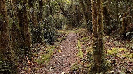
Refugio Cajanuma Parque Nacional Podocarpus — local attraction, which is located at VRMH+FCP, Loja, Ecuador and belongs to the category — national park. Average visitor rating for this place — 4.8 (according to 140 ratings, information from open sources and relevant for 2022).
Exact location — Refugio Cajanuma Parque Nacional Podocarpus, marked on the map with a red marker.
You can get directions to Refugio Cajanuma Parque Nacional Podocarpus on the map from your location.
What else is interesting in Loja? You can see all the sights if you go to the city page.
Coordinates
Refugio Cajanuma Parque Nacional Podocarpus, Ecuador coordinates in decimal format: latitude — -4.357246581622625, longitude — -78.97425489300473. When converted to degrees, minutes, seconds Refugio Cajanuma Parque Nacional Podocarpus has the following coordinates: -4°21′26.09 north latitude and -78°58′27.32 east longitude.
Nearby cities
The largest cities that are located nearby:
- Santiago — 23 km
- Cuenca — 122 km
- Tumbes
 (Peru) — 143 km
 - Sullana (Peru) — 193 km
- Piura (Peru) — 207 km
- Milagro — 209 km
- Guayaquil — 216 km
- Talara (Peru) — 238 km
- Riobamba — 263 km
- Ambato — 310 km
- Chiclayo (Peru) — 317 km
- Quevedo — 329 km
- Portoviejo — 352 km
- Cajamarca (Peru) — 359 km
- Manta — 373 km
- Santo Domingo — 412 km
- Trujillo (Peru) — 457 km
- Ibarra — 495 km
- Chimbote (Peru) — 566 km
Distance to the capital
Distance to the capital (Quito) is about — 468 km.