 Río San Juan
La Agustina
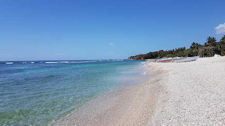
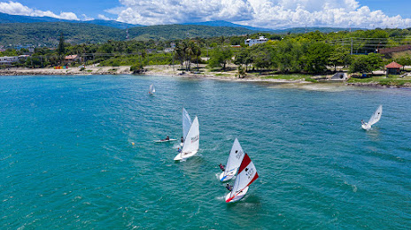
Punta Cana
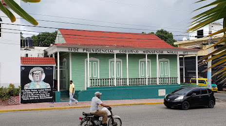
Santo Domingo Este
Santo Domingo Este
Villa Gonzalez
El Seibo
Cristo Rey
Gaspar Hernandez
Puerto Plata
Santo Domingo
Río San Juan
La Agustina
Punta Cana
Santo Domingo Este
Santo Domingo Este
Villa Gonzalez
El Seibo
Cristo Rey
Gaspar Hernandez
Puerto Plata
Santo Domingo
Barahona on the map, Dominican Republic
Where is located Barahona
Exact location — Barahona, Barahona, Dominican Republic, marked on the map with a red marker.
Coordinates
Barahona, Dominican Republic coordinates in decimal format: latitude — 18.2120807, longitude — -71.1024076. When converted to degrees, minutes, seconds Barahona has the following coordinates: 18°12′43.49 north latitude and -71°6′8.67 east longitude.
Population
Barahona, Barahona, Dominican Republic, according to our data the population is — 77,161 residents, which is about 0.7% of the total population of the country (Dominican Republic).
Comparison of the population on the graph:
Exact time
Time zone for this location Barahona — UTC -4 America/Santo_Domingo. Exact time — monday, 5 may 2024 year, 04 h. 57 minutes.
Sunrise and sunset
Barahona, sunrise and sunset data for a date — monday 20.05.2024.
| Sunrise | Sunset | Day (duration) |
|---|---|---|
| 06:12 -0 minutes | 19:09 -0 minutes | 13 h. 0 minutes. -0 minutes |
You can control the scale of the map using the auxiliary tools to find out exactly where it is located Barahona. When you change the scale of the map, the width of the ruler also changes (in kilometers and miles).
Nearby cities
The largest cities that are located nearby:
- San Cristobal — 107 km
- La Vega — 126 km
- Port-au-Prince
 (Haiti) — 134 km
 - Carrefour (Haiti) — 142 km
- Santiago De Los Caballeros — 145 km
- San Francisco de Macoris — 150 km
- Léogâne (Haiti) — 163 km
- Puerto Plata — 179 km
- San Pedro de Macoris — 191 km
- Cap-Haitien (Haiti) — 204 km
- La Romana — 225 km
- Punta Cana — 286 km
- Ponce
 (Puerto Rico) — 472 km
 - Guantanamo
 (Cuba) — 477 km
 - Bayamón
 (Puerto Rico) — 516 km
 - Saint John (Puerto Rico) — 525 km
- Santiago de Cuba (Cuba) — 530 km
- Carolina (Puerto Rico) — 540 km
- Palma Soriano (Cuba) — 553 km
Distance to neighboring capitals:
- Port-au-Prince (Haiti) — 132 km
- Saint John (Puerto Rico) — 528 km
Attractions
Distance to the capital
Distance to the capital (Santo Domingo) is about — 125 km.