Santana do Livramento — Frecheirinha
Santana do Livramento — Cuiaba
Santana do Livramento — Cavalcante
Santana do Livramento — Taquarana
Santana do Livramento — Canoas
Santana do Livramento — School
Santana do Livramento — Gararu
Santana do Livramento — Patu
Santana do Livramento — Magda
Santana do Livramento — Corbélia
Santana do Livramento — Joaquim Gomes
Santana do Livramento — Pereiro
Santana do Livramento — Barbalha
Santana do Livramento — London
Santana do Livramento — Encruzilhada
Santana do Livramento — Cujubim
Santana do Livramento — Prados
Santana do Livramento — Tuparendi
Santana do Livramento — Ribeirão das Neves
Vila Nova
Santa Maria
Santa Maria
Airport Santa Maria
Agudo
Paraíso do Sul
Candelária
Santa Cruz do Sul
Venâncio Aires
Santa Clara do Sul
Estrela
Lajeado
Teutônia
Westfalia
Garibaldi
Santana do Livramento — Carlos Barbosa distance, route on the map
Distance by car
Distance between Santana do Livramento, Rio Grande do Sul, Brazil and Carlos Barbosa, Rio Grande do Sul, Brazil by car is — km, or miles. To travel this distance by car, you need minute, or h.
Route on the map, driving directions
Car route Santana do Livramento — Carlos Barbosa was created automatically. The road on the map is shown as a blue line. By moving the markers, you can create a new route through the points you need.
Passing cities through which the car route passes: Rosário do Sul, Vila Nova, Santa Maria, Santa Maria, Airport Santa Maria, Agudo, Paraíso do Sul, Candelária, Santa Cruz do Sul, Venâncio Aires, Santa Clara do Sul, Estrela, Lajeado, Teutônia, Westfalia, Garibaldi.
Distance by plane
If you decide to take a trip Santana do Livramento Carlos Barbosa by plane, then you have to fly the distance — 427 km or 265 miles. It is marked on the map with a gray line (between two points in a straight line).
Flight time
Estimated flight time Santana do Livramento Carlos Barbosa by plane at cruising speed 750 km / h will be — 34 min.
Direction of movement
Brazil, Santana do Livramento — right-hand traffic. Brazil, Carlos Barbosa — right-hand traffic.
Difference in time
Santana do Livramento and Carlos Barbosa are in the same time zone. Between them there is no time difference (UTC -3 America/Montevideo).
Interesting Facts
Information on alternative ways to get to your destination.
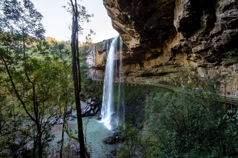
The length of this distance is about 1.1% of the total length of the equator.
The percentage of the population is clearly shown in the graph:
Santana do Livramento — 89,696, Carlos Barbosa — 19,106 residents (less by 70,590).
The cost of travel
Calculate the cost of the trip yourself using the fuel consumption calculator, changing the data in the table.