
 Belém
Maranguape
Paranaguá
Paranaguá
Monte Alegre
Alvorada de Minas
Bragança
Laguna
Ibiporã
Belém
Maranguape
Paranaguá
Paranaguá
Monte Alegre
Alvorada de Minas
Bragança
Laguna
Ibiporã
Redinha beach (Praia da Redinha) on the map, Natal, Brazil
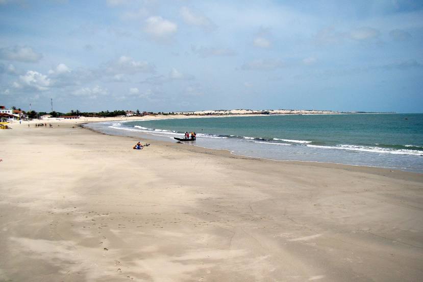
Photo
Where is located Redinha beach (Praia da Redinha)
Redinha beach (Praia da Redinha) — local attraction, which is located at no data and belongs to the category — -. Average visitor rating for this place — 4.5 (according to 647 ratings, information from open sources and relevant for 2022).
Exact location — Redinha beach (Praia da Redinha), marked on the map with a red marker.
You can get directions to Redinha beach (Praia da Redinha) on the map from your location.
What else is interesting in Natal? You can see all the sights if you go to the city page.
Coordinates
Redinha beach (Praia da Redinha), Brazil coordinates in decimal format: latitude — -5.747570131951159, longitude — -35.20149499135398. When converted to degrees, minutes, seconds Redinha beach (Praia da Redinha) has the following coordinates: -5°44′51.25 north latitude and -35°12′5.38 east longitude.
Nearby cities
The largest cities that are located nearby:
- Parnamirim — 17 km
- Santa Rita — 152 km
- João Pessoa — 153 km
- Campina Grande — 176 km
- Mossoro — 245 km
- Camaragibe — 249 km
- Recife — 254 km
- Jaboatão dos Guararapes — 265 km
- Caruaru — 290 km
- Fortaleza — 431 km
- Maceió — 432 km
- Maracanaú — 433 km
- Caucaia — 444 km
- Arapiraca — 468 km
- Juazeiro do Norte — 479 km
- Aracaju — 606 km
- Petrolina — 703 km
- Alagoinhas — 784 km
- Parnaíba — 792 km