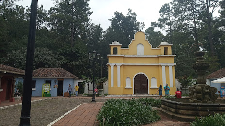
San Jerónimo — San Martín Jilotepeque
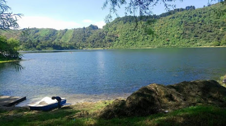
San Jerónimo — San Pedro La Laguna
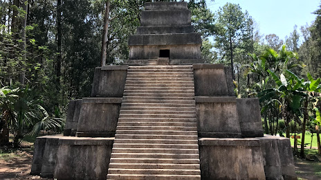
San Jerónimo — Zompopero
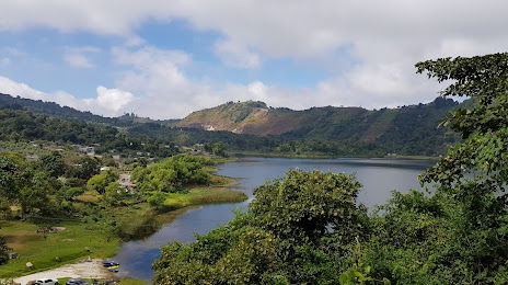
San Jerónimo — Tzanimacabaj
San Jerónimo — The meetings
San Jerónimo — San Felipe
San Jerónimo — Santa Cruz la Laguna
San Jerónimo — Joyabaj
San Jerónimo — San Francisco
San Jerónimo — El Naranjo
San Jerónimo — San Cristobal Acasaguastlán
San Jerónimo — Modesto Méndez
San Jerónimo — Guatemala
San Jerónimo — Chocon
San Jerónimo — Chiquistepeque
San Jerónimo — Playa Grande Ixcan
San Jerónimo — Chiquimula
San Jerónimo — Santiago Sacatepéquez
San Jerónimo — Champerico
Chuarrancho
Chinautla
Zona 18
Guatemala City
Guatemala City
Guatemala City
Zona 12
Villa Nueva
Villa Nueva
San Jerónimo — San Martín Jilotepeque
San Jerónimo — San Pedro La Laguna
San Jerónimo — Zompopero
San Jerónimo — Tzanimacabaj
San Jerónimo — The meetings
San Jerónimo — San Felipe
San Jerónimo — Santa Cruz la Laguna
San Jerónimo — Joyabaj
San Jerónimo — San Francisco
San Jerónimo — El Naranjo
San Jerónimo — San Cristobal Acasaguastlán
San Jerónimo — Modesto Méndez
San Jerónimo — Guatemala
San Jerónimo — Chocon
San Jerónimo — Chiquistepeque
San Jerónimo — Playa Grande Ixcan
San Jerónimo — Chiquimula
San Jerónimo — Santiago Sacatepéquez
San Jerónimo — Champerico
Chuarrancho
Chinautla
Zona 18
Guatemala City
Guatemala City
Guatemala City
Zona 12
Villa Nueva
Villa Nueva
San Jerónimo — Amatitlán distance, route on the map
Distance by car
Distance between San Jerónimo, Baja Verapaz, Guatemala and Amatitlán, Guatemala, Guatemala by car is — km, or miles. To travel this distance by car, you need minute, or h.
Route on the map, driving directions
Car route San Jerónimo — Amatitlán was created automatically. The road on the map is shown as a blue line. By moving the markers, you can create a new route through the points you need.
Passing cities through which the car route passes: Salama, Chuarrancho, Chinautla, Zona 18, Guatemala City, Guatemala City, Guatemala City, Zona 12, Villa Nueva, Villa Nueva.
Distance by plane
If you decide to take a trip San Jerónimo Amatitlán by plane, then you have to fly the distance — 76 km or 47 miles. It is marked on the map with a gray line (between two points in a straight line).
Flight time
Estimated flight time San Jerónimo Amatitlán by plane at cruising speed 750 km / h will be — 6 min.
Direction of movement
Guatemala, San Jerónimo — right-hand traffic. Guatemala, Amatitlán — right-hand traffic.
Difference in time
San Jerónimo and Amatitlán are in the same time zone. Between them there is no time difference (UTC -6 America/Guatemala).
Interesting Facts
Information on alternative ways to get to your destination.
The length of this distance is about 0.2% of the total length of the equator.
The percentage of the population is clearly shown in the graph:
San Jerónimo — 8,317 (less by 62,040), Amatitlán — 70,357 residents.
The cost of travel
Calculate the cost of the trip yourself using the fuel consumption calculator, changing the data in the table.