Gravatá — Marcelino Ramos
Gravatá — Carutapera
Gravatá — Bom Amigo
Gravatá — Espírito Santo
Gravatá — São Bernardo do Campo
Gravatá — Irati
Gravatá — Siriri
Gravatá — São José dos Pinhais
Gravatá — Major Sales
Gravatá — Virmond
Gravatá — Canaã dos Carajás
Gravatá — Pato Branco
Gravatá — Borba
Gravatá — Aeroporto Internacional de Foz do Iguaçu - Cataratas
Gravatá — Cabo de Santo Agostinho
Gravatá — Gandu
Gravatá — Resplendor
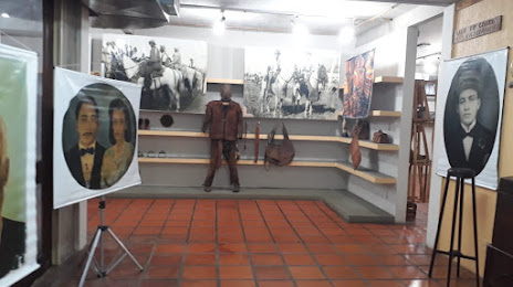
Gravatá — School
Gravatá — Saint Andrew
Gameleira
Joaquim Nabuco
Palmares
Joaquim Gomes
Flexeiras
Messias
Rio Largo
Urubá
Pilar
São Miguel dos Campos
Junqueiro
Igreja Nova
Maruim
Santo Amaro das Brotas
Barra dos Coqueiros
Aracaju
São Cristóvão
Estância
Esplanada
Entre Rios
Alagoinhas
Teodoro Sampaio
Gravatá — Marcelino Ramos
Gravatá — Carutapera
Gravatá — Bom Amigo
Gravatá — Espírito Santo
Gravatá — São Bernardo do Campo
Gravatá — Irati
Gravatá — Siriri
Gravatá — São José dos Pinhais
Gravatá — Major Sales
Gravatá — Virmond
Gravatá — Canaã dos Carajás
Gravatá — Pato Branco
Gravatá — Borba
Gravatá — Aeroporto Internacional de Foz do Iguaçu - Cataratas
Gravatá — Cabo de Santo Agostinho
Gravatá — Gandu
Gravatá — Resplendor
Gravatá — School
Gravatá — Saint Andrew
Gameleira
Joaquim Nabuco
Palmares
Joaquim Gomes
Flexeiras
Messias
Rio Largo
Urubá
Pilar
São Miguel dos Campos
Junqueiro
Igreja Nova
Maruim
Santo Amaro das Brotas
Barra dos Coqueiros
Aracaju
São Cristóvão
Estância
Esplanada
Entre Rios
Alagoinhas
Teodoro Sampaio
Gravatá — Feira de Santana distance, route on the map
Distance by car
Distance between Gravatá, Pernambuco, Brazil and Feira de Santana, Bahia, Brazil by car is — km, or miles. To travel this distance by car, you need minute, or h.
Route on the map, driving directions
Car route Gravatá — Feira de Santana was created automatically. The road on the map is shown as a blue line. By moving the markers, you can create a new route through the points you need.
Passing cities through which the car route passes: Amaraji, Gameleira, Joaquim Nabuco, Palmares, Joaquim Gomes, Flexeiras, Messias, Rio Largo, Urubá, Pilar, São Miguel dos Campos, Junqueiro, Igreja Nova, Maruim, Santo Amaro das Brotas, Barra dos Coqueiros, Aracaju, São Cristóvão, Estância, Esplanada, Entre Rios, Alagoinhas, Teodoro Sampaio.
Distance by plane
If you decide to take a trip Gravatá Feira de Santana by plane, then you have to fly the distance — 584 km or 362 miles. It is marked on the map with a gray line (between two points in a straight line).
Flight time
Estimated flight time Gravatá Feira de Santana by plane at cruising speed 750 km / h will be — 46 min.
Direction of movement
Brazil, Gravatá — right-hand traffic. Brazil, Feira de Santana — right-hand traffic.
Difference in time
Gravatá and Feira de Santana are in the same time zone. Between them there is no time difference (UTC -3 America/Recife).
Interesting Facts
Information on alternative ways to get to your destination.
The length of this distance is about 1.5% of the total length of the equator.
The percentage of the population is clearly shown in the graph:
Gravatá — 61,250 (less by 420,676), Feira de Santana — 481,926 residents.
The cost of travel
Calculate the cost of the trip yourself using the fuel consumption calculator, changing the data in the table.