Gravatá — Salgado Filho International Airport
Gravatá — Posse
Gravatá — Palestina
Gravatá — São João
Gravatá — Itapuranga
Gravatá — Matilde
Gravatá — Cabo Frio
Gravatá — Pinheiro Machado
Gravatá — Catunda
Gravatá — Olinda
Gravatá — Coelho Neto
Gravatá — Piraí do Sul
Gravatá — Gália
Gravatá — Vicentina
Gravatá — Inhumas
Gravatá — Faxinal dos Guedes
Gravatá — Alagoa Nova
Gravatá — Panamá
Gravatá — Dourados
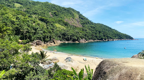
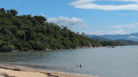
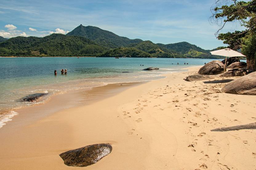
Gravatá — Paraty distance, route on the map
Distance by car
Distance between Gravatá, Pernambuco, Brazil and Paraty, Rio de Janeiro, Brazil by car is — km, or miles. To travel this distance by car, you need minute, or h.
Route on the map, driving directions
Car route Gravatá — Paraty was created automatically. The road on the map is shown as a blue line. By moving the markers, you can create a new route through the points you need.
Distance by plane
If you decide to take a trip Gravatá Paraty by plane, then you have to fly the distance — 1934 km or 1199 miles. It is marked on the map with a gray line (between two points in a straight line).
Flight time
Estimated flight time Gravatá Paraty by plane at cruising speed 750 km / h will be — 2 h. and 34 min.
Direction of movement
Brazil, Gravatá — right-hand traffic. Brazil, Paraty — right-hand traffic.
Difference in time
Gravatá and Paraty are in the same time zone. Between them there is no time difference (UTC -3 America/Recife).
Interesting Facts
Information on alternative ways to get to your destination.
The length of this distance is about 4.8% of the total length of the equator.
The percentage of the population is clearly shown in the graph:
Gravatá — 61,250, Paraty — 15,118 residents (less by 46,132).
The cost of travel
Calculate the cost of the trip yourself using the fuel consumption calculator, changing the data in the table.