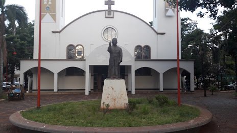
Carmo da Cachoeira — Vila Nova do Piauí
Carmo da Cachoeira — Mairiporã
Carmo da Cachoeira — Santa Branca
Carmo da Cachoeira — Penha Longa
Carmo da Cachoeira — Saquarema
Carmo da Cachoeira — Taguatinga
Carmo da Cachoeira — Palmas
Carmo da Cachoeira — Dores do Indaiá
Carmo da Cachoeira — Bom Jesus do Galho
Carmo da Cachoeira — Florianópolis
Carmo da Cachoeira — Inhapim
Carmo da Cachoeira — Itapuranga
Carmo da Cachoeira — Roseira
Carmo da Cachoeira — Ibiporã
Carmo da Cachoeira — Guaraciaba
Carmo da Cachoeira — Km 19
Carmo da Cachoeira — Igrejinha
Carmo da Cachoeira — Macucos
Carmo da Cachoeira — Coronel Murta
Santana da Vargem
Boa Esperança
Carmo do Rio Claro
Passos
Capetinga
Patrocínio Paulista
Franca
Aramina
Igarapava
Uberaba
Campo Florido
Prata
Centralina
Araporã
Carmo da Cachoeira — Itumbiara distance, route on the map
Distance by car
Distance between Carmo da Cachoeira, Minas Gerais, Brazil and Itumbiara, Goiás, Brazil by car is — km, or miles. To travel this distance by car, you need minute, or h.
Route on the map, driving directions
Car route Carmo da Cachoeira — Itumbiara was created automatically. The road on the map is shown as a blue line. By moving the markers, you can create a new route through the points you need.
Passing cities through which the car route passes: Três Pontas, Santana da Vargem, Boa Esperança, Carmo do Rio Claro, Passos, Capetinga, Patrocínio Paulista, Franca, Aramina, Igarapava, Uberaba, Campo Florido, Prata, Centralina, Araporã.
Distance by plane
If you decide to take a trip Carmo da Cachoeira Itumbiara by plane, then you have to fly the distance — 538 km or 334 miles. It is marked on the map with a gray line (between two points in a straight line).
Flight time
Estimated flight time Carmo da Cachoeira Itumbiara by plane at cruising speed 750 km / h will be — 43 min.
Direction of movement
Brazil, Carmo da Cachoeira — right-hand traffic. Brazil, Itumbiara — right-hand traffic.
Difference in time
Carmo da Cachoeira and Itumbiara are in the same time zone. Between them there is no time difference (UTC -3 America/Sao_Paulo).
Interesting Facts
Information on alternative ways to get to your destination.
The length of this distance is about 1.3% of the total length of the equator.
The percentage of the population is clearly shown in the graph:
Carmo da Cachoeira — 10,803 (less by 68,780), Itumbiara — 79,583 residents.
The cost of travel
Calculate the cost of the trip yourself using the fuel consumption calculator, changing the data in the table.