
 Belém
Maranguape
Paranaguá
Paranaguá
Monte Alegre
Alvorada de Minas
Bragança
Laguna
Ibiporã
Belém
Maranguape
Paranaguá
Paranaguá
Monte Alegre
Alvorada de Minas
Bragança
Laguna
Ibiporã
Fort of Santa Catarina on the map, Cabedelo, Brazil
Photo
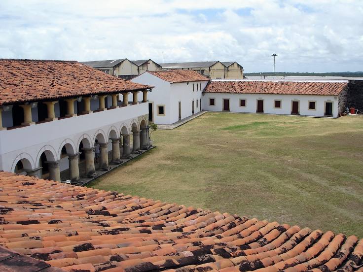
Where is located Fort of Santa Catarina
Fort of Santa Catarina — local attraction, which is located at R.Francisco Serafim, Praia - Ponta de Matos, Cabedelo - PB, 58100-617, Brazil and belongs to the category — fortress. Average visitor rating for this place — 4.4 (according to 5368 ratings, information from open sources and relevant for 2022).
Exact location — Fort of Santa Catarina, marked on the map with a red marker.
You can get directions to Fort of Santa Catarina on the map from your location.
What else is interesting in Cabedelo? You can see all the sights if you go to the city page.
Coordinates
Fort of Santa Catarina, Brazil coordinates in decimal format: latitude — -6.968815730024353, longitude — -34.84012300270198. When converted to degrees, minutes, seconds Fort of Santa Catarina has the following coordinates: -6°58′7.74 north latitude and -34°50′24.44 east longitude.
Nearby cities
The largest cities that are located nearby:
- João Pessoa — 15 km
- Santa Rita — 22 km
- Camaragibe — 116 km
- Campina Grande — 117 km
- Recife — 118 km
- Parnamirim — 129 km
- Jaboatão dos Guararapes — 132 km
- Natal — 140 km
- Caruaru — 190 km
- Maceió — 310 km
- Mossoro — 342 km
- Arapiraca — 366 km
- Juazeiro do Norte — 493 km
- Aracaju — 501 km
- Maracanaú — 543 km
- Fortaleza — 544 km
- Caucaia — 556 km
- Petrolina — 673 km
- Alagoinhas — 689 km