
 Belém
Maranguape
Paranaguá
Paranaguá
Monte Alegre
Alvorada de Minas
Bragança
Laguna
Ibiporã
Belém
Maranguape
Paranaguá
Paranaguá
Monte Alegre
Alvorada de Minas
Bragança
Laguna
Ibiporã
Parque Ecoturístico Municipal São Luis de Tolosa on the map, Mafra, Brazil
Photo
Where is located Parque Ecoturístico Municipal São Luis de Tolosa
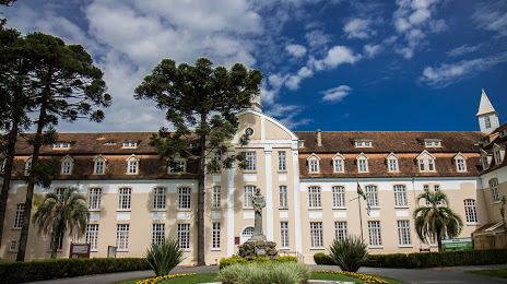
Parque Ecoturístico Municipal São Luis de Tolosa — local attraction, which is located at R. Juvenal Ferreira Pinto, 2070 - Seminário, Rio Negro - PR, 83880-000, Brazil and belongs to the category — city park. Average visitor rating for this place — 4.7 (according to 31 rating, information from open sources and relevant for 2022).
Exact location — Parque Ecoturístico Municipal São Luis de Tolosa, marked on the map with a red marker.
You can get directions to Parque Ecoturístico Municipal São Luis de Tolosa on the map from your location.
What else is interesting in Mafra? You can see all the sights if you go to the city page.
Coordinates
Parque Ecoturístico Municipal São Luis de Tolosa, Brazil coordinates in decimal format: latitude — -26.082507032280883, longitude — -49.80614490244748. When converted to degrees, minutes, seconds Parque Ecoturístico Municipal São Luis de Tolosa has the following coordinates: -26°4′57.03 north latitude and -49°48′22.12 east longitude.
Nearby cities
The largest cities that are located nearby:
- Araucária — 71 km
- Jaraguá do Sul — 83 km
- São José dos Pinhais — 88 km
- Curitiba — 93 km
- Pinhais — 97 km
- Joinville — 98 km
- Colombo — 108 km
- Blumenau — 115 km
- Itajaí — 142 km
- Paranaguá — 144 km
- Guarapuava — 184 km
- Lages — 195 km
- São José — 201 km
- Palhoça — 203 km
- Florianópolis — 205 km
- Criciúma — 286 km
- Chapecó — 297 km
- Apucarana — 330 km
- Itapetininga — 331 km