
 Litoral Del Bajo San Juan
El Cantón de San Pablo
Juan Frío
Santa Barbara
El Juncal
Dibulla
Vereda Campo Alegre
San Pablo
Guaramito
Litoral Del Bajo San Juan
El Cantón de San Pablo
Juan Frío
Santa Barbara
El Juncal
Dibulla
Vereda Campo Alegre
San Pablo
Guaramito
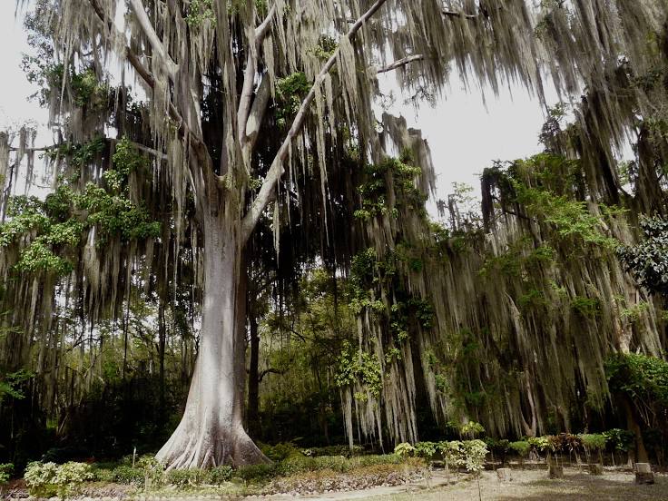
El Gallineral Natural Park on the map, San Gil, Colombia
Photo
Where is located El Gallineral Natural Park
El Gallineral Natural Park — local attraction, which is located at Cra. 11 #21-1, San Gil, Santander, Colombia and belongs to the category — park. Average visitor rating for this place — 4.5 (according to 6761 rating, information from open sources and relevant for 2022).
Exact location — El Gallineral Natural Park, marked on the map with a red marker.
You can get directions to El Gallineral Natural Park on the map from your location.
What else is interesting in San Gil? You can see all the sights if you go to the city page.
Coordinates
El Gallineral Natural Park, Colombia coordinates in decimal format: latitude — 6.5507550013185005, longitude — -73.12833110286262. When converted to degrees, minutes, seconds El Gallineral Natural Park has the following coordinates: 6°33′2.72 north latitude and -73°7′41.99 east longitude.
Nearby cities
The largest cities that are located nearby:
- Floridablanca — 56 km
- Giron — 57 km
- Bucaramanga — 63 km
- Sogamoso — 95 km
- Barrancabermeja — 97 km
- Tunja — 114 km
- Cúcuta — 162 km
- San Cristobal
 (Venezuela) — 167 km
 - Soacha — 249 km
- Bello — 268 km
- Medellín — 270 km
- Villavicencio — 273 km
- Envigado — 274 km
- Itagüi — 276 km
- Ejido (Venezuela) — 302 km
- Manizales — 310 km
- Girardot — 311 km
- Merida (Venezuela) — 313 km
- Ibagué — 329 km
Distance to the capital
Distance to the capital (Bogota) is about — 241 km.